
GIS
2025-01-10
MMonisha Karmakar
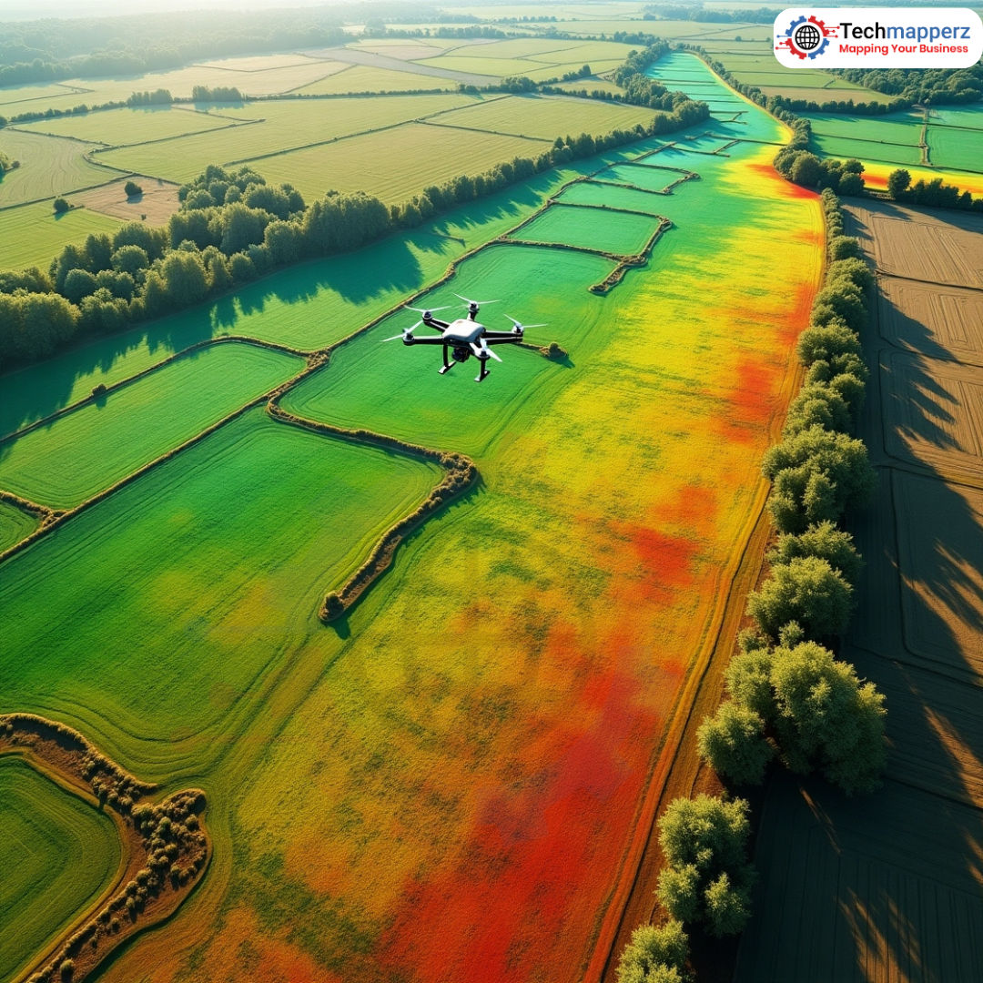
Precision Farming with LiDAR & GIS: A Sustainable Approach
LiDAR & GIS: The Dynamic Duo Our farming practices are being completely transformed by these innovative technologies...
Read Article0 comments
Loading Techmapperz...

Practical technical breakdowns, methodologies, and engineering workflows on GIS mapping, drone surveying, LiDAR data processing, and enterprise digital solutions.
Browse our collection of verified geospatial field notes and IT articles.
Share your project details, aerial specifications, or software requirements. Our team will review your scope and suggest an optimal workflow.
LiDAR & GIS: The Dynamic Duo Our farming practices are being completely transformed by these innovative technologies...

The Role of Drones in Urban Data Collection: Drones, or unmanned aerial vehicles (UAVs), equipped with high-resolution c...
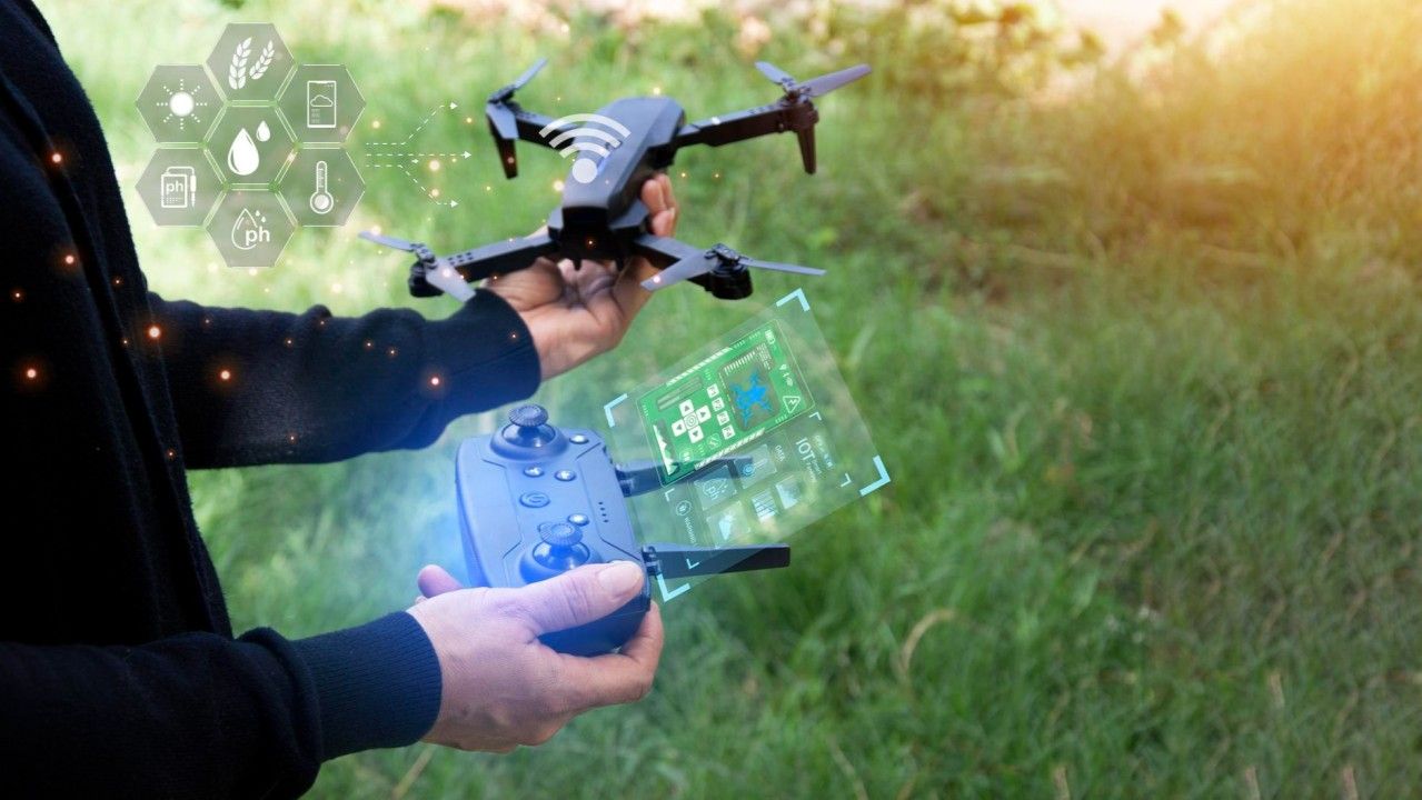
Data Processing Automation: Image Stitching & Mosaicking: AI algorithms can automatically stitch together overlappi...

By leveraging the power of a custom website, you can create a user experience that aligns perfectly with your brand voic...

Introduction In the Information Technology era of now, Artificial Intelligence (AI) and Machine Learning (ML) have made...
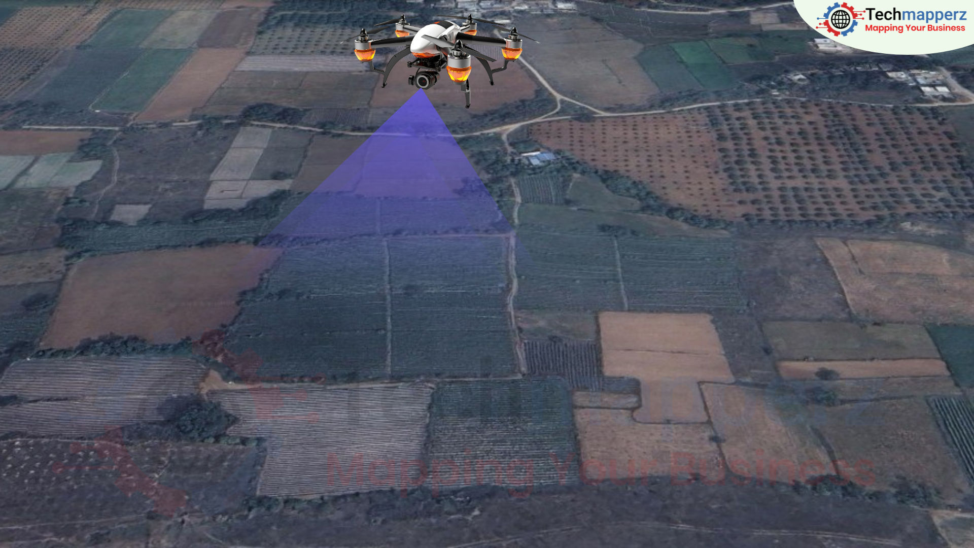
Drones offer a kind of precision that was previously not achievable with standard satellite or aerial images since they...