Loading Techmapperz...

Enterprise GIS mapping, drone surveys, LiDAR data processing, and custom digital web & mobile applications.
Explore valuable insights, blogs, and company events on IT and GIS solutions.
Loading Techmapperz...

The value of a drone survey comes from converting captured data into maps, models and spatial information that engineers, planners, surveyors and GIS teams can use.
Before starting an assignment, we review the project boundary, terrain, coordinate reference system, available survey control, required deliverables and intended use of the data.
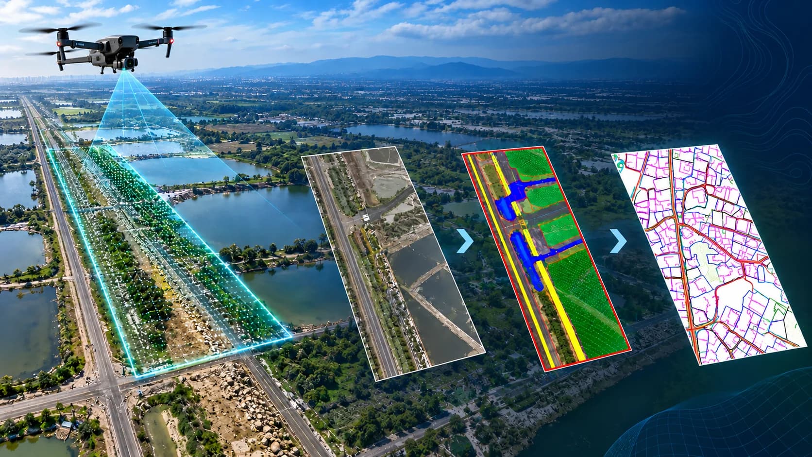
Based on the project requirements, the workflow may include drone-data acquisition, photogrammetric processing, LiDAR point-cloud processing, terrain modelling, feature extraction and final GIS or CAD preparation.


Techmapperz supports drone survey based topographic and base mapping for infrastructure, mining, land-development, corridor and planning assignments. Depending on the project specification and available survey control, the captured data can be prepared into terrain information and project-specific GIS or CAD mapping outputs.

Already have raw drone imagery? Techmapperz can review and process client-supplied images together with available flight metadata, positioning and survey-control information. Before production begins, we check image coverage, overlap, metadata, coordinate reference system, available control and required delivery formats.

Techmapperz supports drone-based LiDAR surveys and point cloud processing for railway, road, pipeline, utility, mining, plantation and terrain-mapping assignments. Depending on the project scope, our support can include survey planning, field data acquisition, integration of available DGPS or ground-control information, and processing of captured or client-supplied LAS/LAZ data.

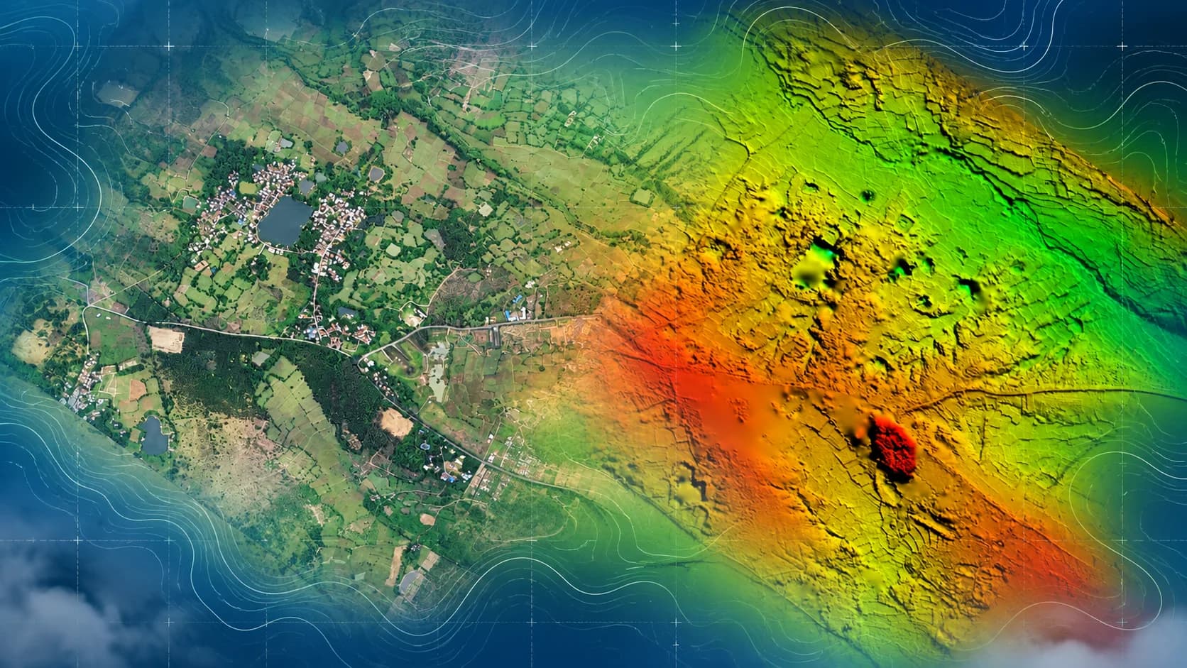
Some projects require more than a conventional topographic base map. Linear infrastructure needs consistent mapping along an alignment, while mining and construction sites may require terrain surfaces, sections and volume measurements. Techmapperz prepares these outputs from suitable drone imagery, LiDAR point clouds and available survey-control information, according to the project specification and required GIS or CAD format.
Share your project location, survey area, required outputs and timeline.
We confirm the project area, purpose, deliverables, specifications and timeline.
We define the survey or processing method, required inputs and review stages.
We collect field data or review supplied imagery, point clouds and control information.
We process imagery or LiDAR and prepare the agreed terrain, GIS and CAD outputs.
We check projection, coverage, accuracy, completeness and file structure.
We address agreed comments and submit the approved files and report.
Share the information available with you. We will review it and confirm any missing inputs before preparing the workflow and quotation.
For a New Survey
For Drone-Image Processing
For LiDAR Processing
Don’t have every input? Send the available information, and our team will identify any gaps before work begins.
Share Your Project Details →Corridor surveys, topographic mapping and terrain models for roads, railways and construction projects.
Mine and quarry mapping, haul-road surveys, stockpile volumes and terrain models.
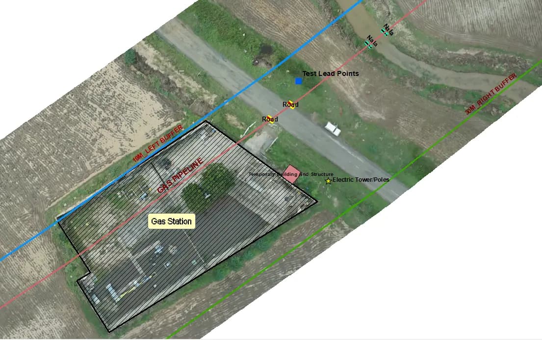
Pipeline and power-line corridor mapping, alignment surveys and utility-asset documentation.
Site surveys, contours, terrain models and base maps for planning and design.
Land-use surveys, base maps and public-asset mapping for urban development projects.
Farm and plantation mapping, field boundaries, crop-area measurement and drainage planning.

Techmapperz carried out a Drone LiDAR and topographic survey along a 173 km railway corridor, covering an approximately 100 m-wide survey band through rural, semi-urban and agricultural areas.
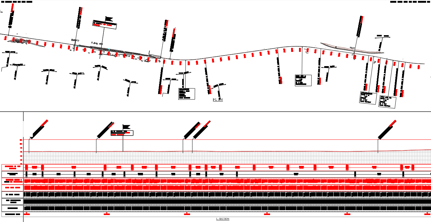
The work extended beyond aerial data capture. LiDAR point clouds and synchronized RGB imagery were processed to prepare terrain models, orthomosaics, contours and CAD/GIS topographical maps. The terrain information was further used to produce cross-sections, longitudinal sections and gradient drawings required for railway corridor planning and engineering use.
Key Project Deliverables
Drone data is reviewed in the context of the mapping, terrain, GIS or CAD output the project actually requires.
Assignments can cover survey support, drone-data processing, point clouds, terrain products, feature extraction and final GIS/CAD preparation.
Clients who already have drone or LiDAR data can engage us without repeating the field-survey stage.
Drone imagery can be used alongside LiDAR, survey control, GIS databases, satellite imagery and engineering drawings where the project requires it.
Review checks can cover projection, geometry, topology, attributes, completeness, file structure and compliance with agreed specifications.
We prepare output packages according to the formats and data structure required by the client project environment.
Share the project location, area or corridor length, project objective, required coordinate system, required outputs, available survey specifications and expected timeline. If you already have drone data, also share information about the imagery, point cloud and available control.
Share whatever information is available—project location, approximate area or corridor length, existing imagery or LAS/LAZ files, required outputs and timeline. If the scope is still being prepared, send what you have and we’ll help confirm the remaining inputs.