
Loading Techmapperz...
Loading Techmapperz...

Techmapperz is an India-based geospatial services company focused on GIS mapping, drone surveys and LiDAR data processing. We also develop websites and mobile applications for organisations that need practical digital tools.
Founded in 2021, Techmapperz LLP brings together GIS professionals, drone and LiDAR specialists, developers and designers. Our work begins with the project requirement—its source data, location, technical specification, intended use and delivery format.
Our experience includes railway corridor mapping, pipeline digitisation, mining feature extraction, land mapping and digital application development. We adapt the workflow to each assignment instead of applying the same process to every project.
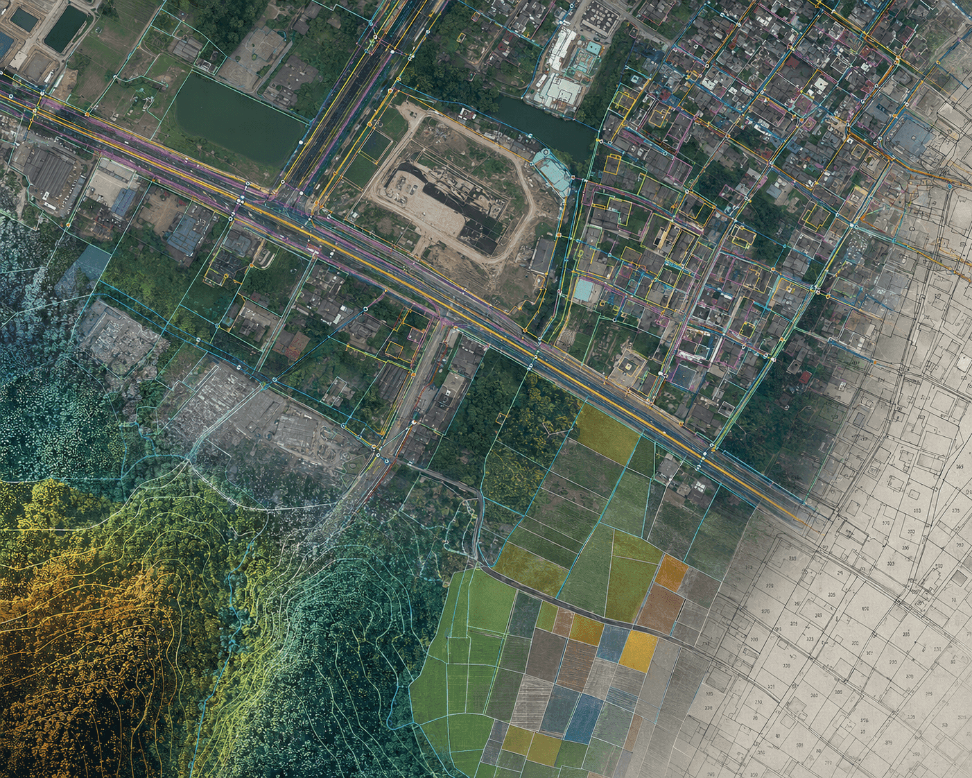
Geospatial & Digital Precision
Structured workflows for accurate maps, terrain models & web platforms.
“Turning complex survey, mapping and digital requirements into dependable, decision-grade outputs.”
We turn complex survey, mapping and digital requirements into dependable outputs that clients can use with confidence. Clear specifications, disciplined production and careful quality checks guide every GIS, drone, LiDAR and development assignment.
“Building India’s most respected geospatial partner across the complete infrastructure lifecycle.”
We are building Techmapperz into a respected geospatial partner from India—known for handling technically demanding work, communicating clearly and delivering consistently. Our long-term direction is to connect field data, spatial intelligence and practical digital tools across the complete project lifecycle.
Our services are organised into three focused areas, with each assignment planned around its required inputs, outputs and working environment.
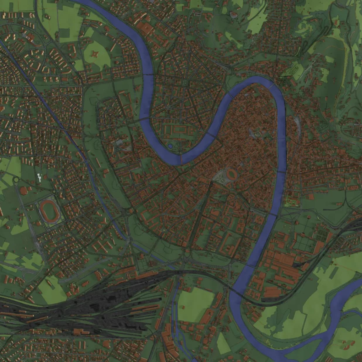 Spatial Data & Geoprocessing
GIS digitisation, feature extraction, utility and land mapping, spatial analysis, geodatabase preparation and CAD–GIS conversion.
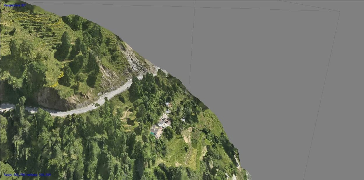 Aerial Photogrammetry & LiDAR
Drone mapping, photogrammetry and LiDAR processing for orthomosaics, classified point clouds, DTM/DSM, contours and volumetric outputs.
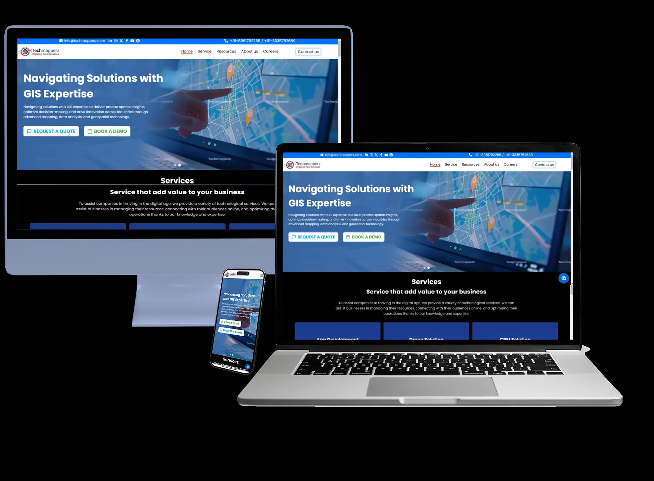 Digital Development & Web GIS
Business websites, mobile applications, Web GIS portals and dashboards planned around practical user and data workflows.
A project runs more smoothly when the requirements and review process are clear from the start. Our approach covers four stages.
We review the location, available data, intended use, required outputs and timeline. We clarify assumptions and gaps before setting the scope.
We define the production method, delivery formats and review stages. Where appropriate, an initial sample helps confirm the specification before the wider work begins.
We carry out the agreed work and check the relevant geometry, attributes, coordinate system, completeness and accuracy requirements. Questions that affect delivery are raised during the project.
We share outputs for review, address agreed corrections and organise the final files for the client’s working environment.
Share your project brief, drawings or sample data. We’ll review the requirement and discuss a suitable next step.