
Loading Techmapperz...
Loading Techmapperz...
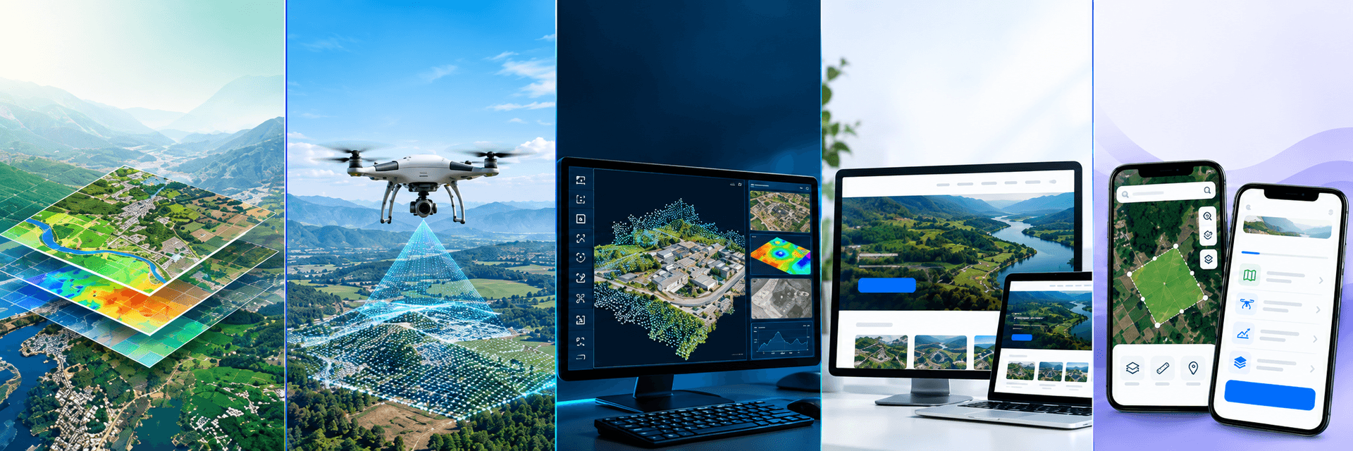
Techmapperz supports infrastructure consultants, utilities, mining teams, government contractors, planners, survey providers and land-resource projects with GIS production, drone data processing, LiDAR deliverables, mapping and purpose-built web and mobile applications.
The same orthomosaic, point cloud or base map can serve very different purposes. A railway consultant may need chainage-linked profiles and cross-sections. A utility team may require a searchable asset register. A mining team may need benches, haul roads, surface features and terrain information.
That is why we begin with the project requirement—not the software.
We review how the data will be used, the quality and structure of the available inputs, the required layers and the final delivery environment. The production and QA/QC workflow is then planned around the agreed specification.
What decision, design or operation will the data support?
What survey, drone, satellite, CAD or legacy information is available?
Which layers, attributes, coordinate systems and checks are required?
Will the output be used in GIS, CAD, a report, a web portal or a mobile application?
These are the sectors where Techmapperz’s GIS, drone, LiDAR and digital capabilities are most relevant. The exact workflow, accuracy requirement and deliverables are agreed project by project.
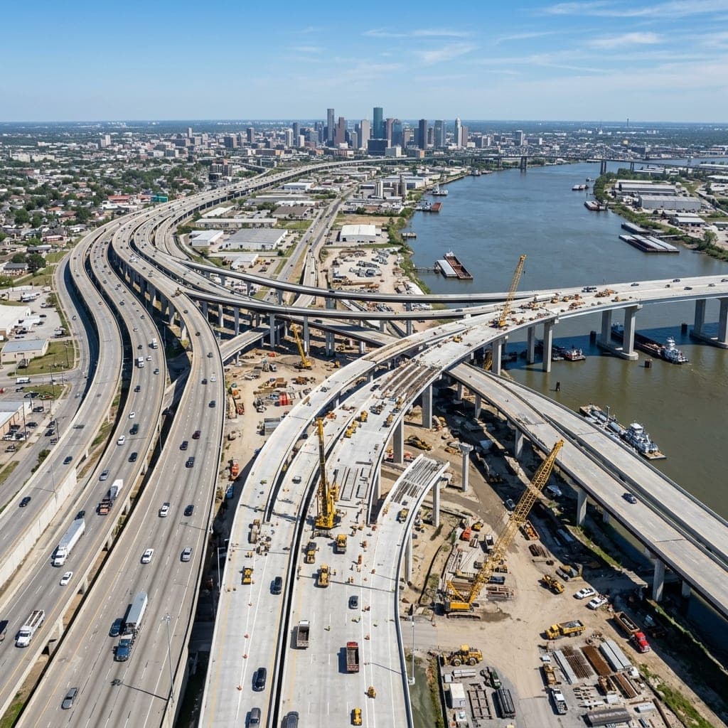 Infrastructure
Techmapperz supports engineering consultants, EPC contractors, survey teams and project owners working on roads, railways, pipelines, industrial sites and public infrastructure.
We help convert survey observations, drone imagery, point clouds, CAD drawings and legacy records into dependable base maps, terrain information, corridor datasets and drawing-ready outputs.
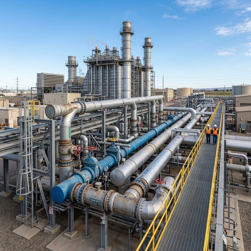 Utilities
Utility projects depend on consistent location and asset information. Disconnected drawings, incomplete attributes and outdated network records can make planning, maintenance and reporting difficult.
We support pipeline, water, drainage, power, telecom and energy-related assignments through network digitisation, asset mapping, route information, attribute organisation and GIS database preparation.
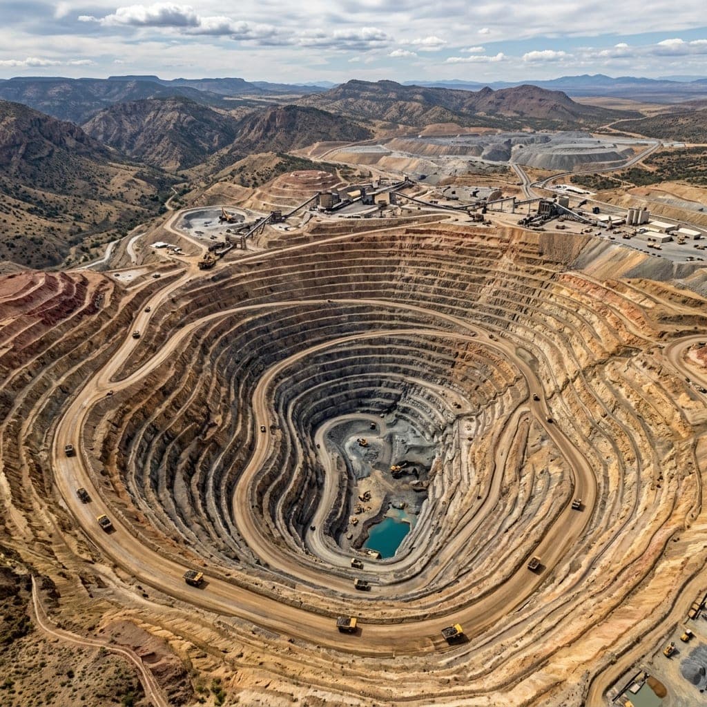 Mining
 projects generate large amounts of spatial data from drone surveys, satellite imagery, LiDAR and site records. That information must be converted into clearly organised terrain and feature datasets.
Techmapperz can extract and classify features such as haul roads, benches, conveyors, buildings, water bodies, drainage, stockpiles and land-cover areas, alongside terrain models and contours.
 Government
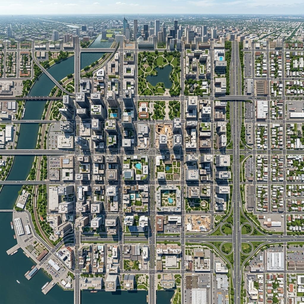
We support consultants, contractors and project teams working on land, municipal and public-sector assignments across local and regional levels.
The work involves georeferencing historical records, digitising land parcels, organising cadastral or municipal information, mapping public assets and classifying land use into structured databases.
 Transportation
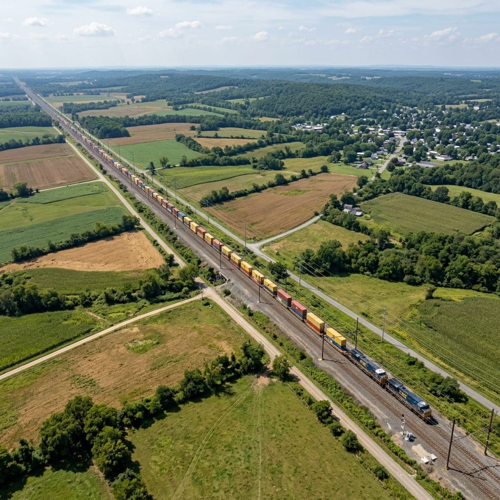
Roads, railways and pipelines require information to remain consistent across long, narrow project areas. Small gaps in chainage, terrain or crossings can affect downstream design.
Techmapperz supports corridor projects with topographical mapping, route datasets, terrain models, contours, profiles, cross-sections and comprehensive crossing feature extraction.
 Urban Planning
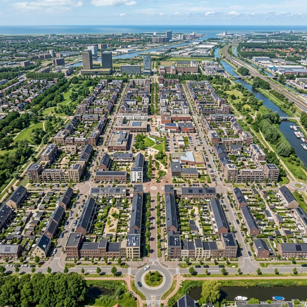
Planning and design teams require a reliable understanding of existing site conditions before developing architectural or master-planning proposals.
We prepare base maps and spatial datasets covering buildings, roads, drainage, utilities, land use, vegetation, water bodies and terrain for master planning and riverfront studies.
 Survey Providers
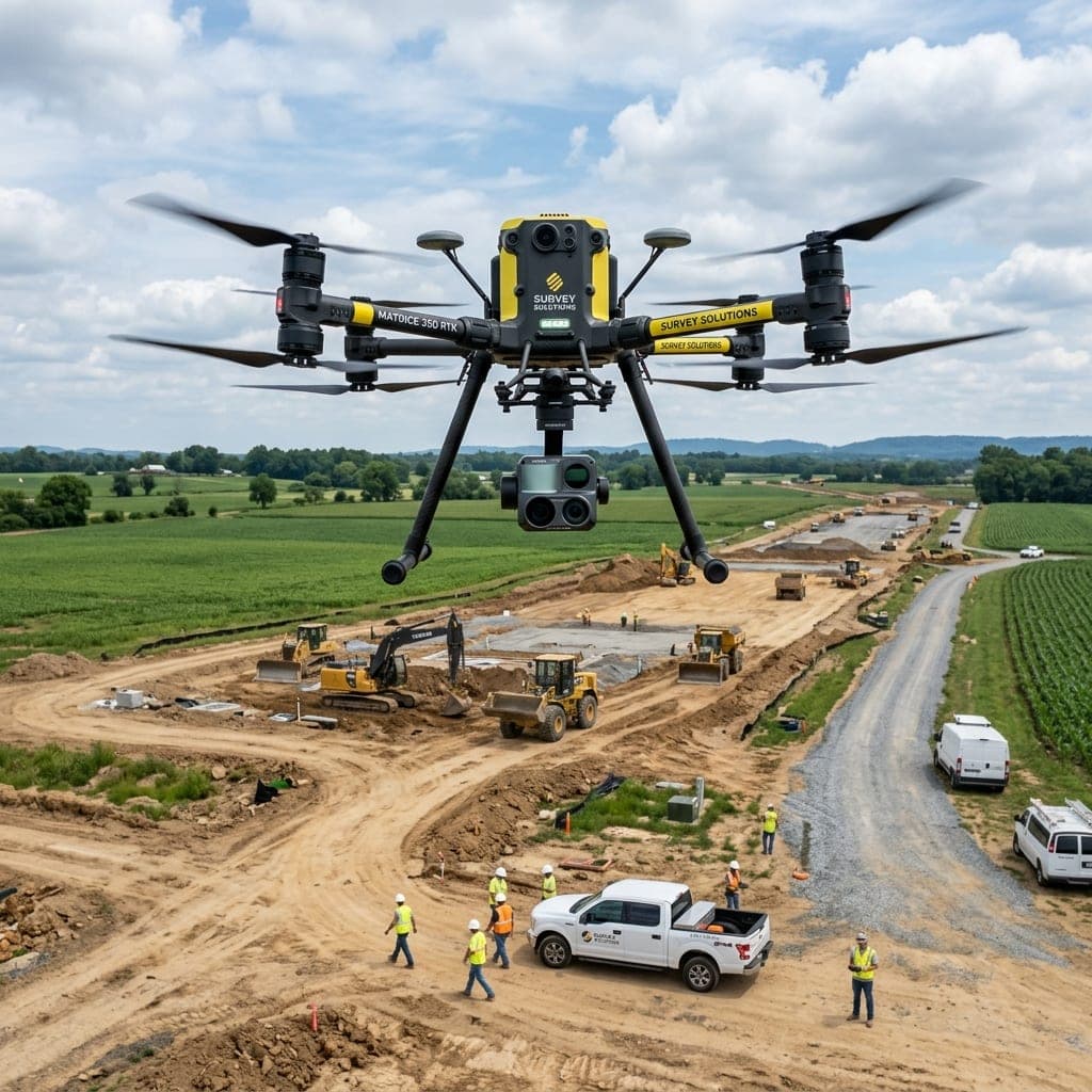
Not every survey company needs to maintain a large in-house processing team for every assignment. Techmapperz provides dependable back-office production support.
Support includes photogrammetry processing, point-cloud classification, orthomosaic preparation, DTM/DSM generation, contours, feature extraction and CAD or GIS production under strict QA/QC.
 Agriculture & Environment
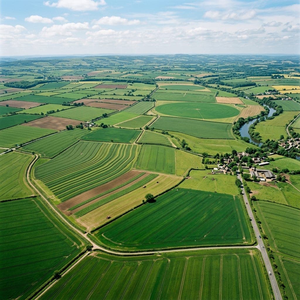
Agriculture and environmental assignments often require clear information about how land, vegetation, water and terrain are distributed across an area.
Using available satellite, drone, LiDAR or reference data, we prepare land-use/cover layers, plantation boundaries, drainage mapping, terrain information and multi-temporal change datasets.
The following assignments show how our geospatial capabilities have been applied to different operating environments.
Drone-based LiDAR and topographical mapping for a 173 km railway corridor, producing terrain and corridor deliverables for project use.
GIS digitisation and asset-registry work covering a 6,000 km gas transmission network and its associated facilities.
Two-dimensional feature extraction and CAD/GIS mapping from drone imagery across 556.674 sq km of mining areas.
Some projects need teams to search, update or share information without opening desktop GIS. Techmapperz can connect spatial data with a web portal, dashboard or mobile workflow when this forms part of the requirement.
Provide controlled browser-based access to maps, layers, asset information, filters and project records.
Support location-based records, photographs, forms, observations and status updates between field and office teams.
Develop customer portals, service workflows, content platforms, business applications and mobile experiences for organisations with a defined operational requirement.
Our geospatial work is most relevant to infrastructure, utilities, mining, transportation, government and land projects, planning, agriculture, environmental assignments and drone or survey service providers. We also develop web and mobile solutions where a project requires a digital workflow.
Share the industry, project location, available inputs, expected deliverables and timeline. Our team will review your requirements and suggest an optimal workflow.