GIS
Techmapperz Specialist
2025-01-06
0 Comments
Drones + AI: Revolutionizing Geospatial Analysis
Data Processing Automation:
- Image Stitching & Mosaicking: AI algorithms can automatically stitch together overlapping drone photos to produce high-resolution ortho-mosaics, doing away with the time-consuming manual process of image stitching and mosaicking.
- 3D Model Reconstruction: ML methods like as Multi-View Stereo (MVS) and Structure from Motion (SfM) make it possible to create precise 3D representations of the surroundings, easily capturing minute details.
Deriving Valuable Information:
- Object Detection & Classification: AI/ML models are able to recognize and classify things in drone footage, including trees, cars, buildings, and even certain plant species. Applications such as environmental monitoring, precision agriculture, and urban planning depend on this.
- Change Detection: AI can identify environmental changes like deforestation, building, and coastline erosion by examining time-series drone imagery. This offers insightful information for resource management, urban growth, and catastrophe management.
Improving the Precision of Data:
- Noise Reduction & Image Enhancement: AI algorithms can efficiently eliminate noise and artifacts from drone photos, resulting in better image quality and increased accuracy for further analysis.
- Data Fusion: To provide more thorough and precise GIS datasets, AI may combine data from several sources, including satellite, LiDAR, and drone photography.
Streamlining Operations:
- Automation & Efficiency: AI/ML greatly streamlines workflows by automating a large number of data processing and analytic processes, freeing up GIS specialists to concentrate on more complex duties like interpretation and decision-making.
- Accessibility: Drone-based GIS is now more accessible to a larger group of users, including those without specific experience in remote sensing or photogrammetry, thanks to AI-powered tools.
The Future of Drone-Based GIS:
Drone-based GIS is seeing tremendous breakthroughs thanks to the combination of AI and ML. As these technologies develop further, it might lead to inventive uses in domains such as:
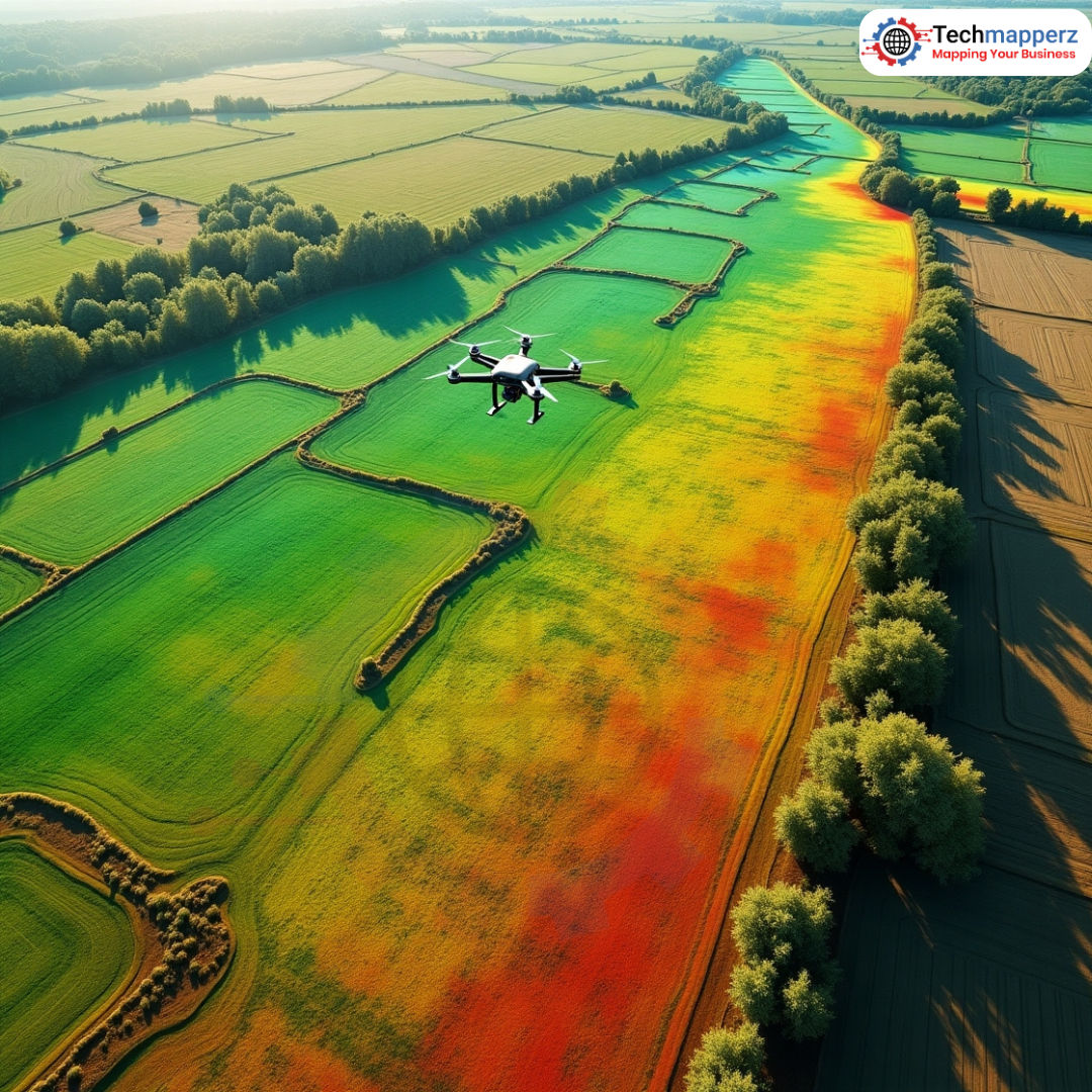
- Precision Agriculture : It includes identifying agricultural illnesses, tracking soil health, and increasing crop yields.
- Urban planning and development : Sites for redevelopment are identified, traffic flow is monitored, and infrastructure is evaluated.
- Environmental Monitoring: Monitoring wildlife populations, measuring pollutant levels, and keeping tabs on deforestation.
- Disaster Response: It includes mapping impacted areas, coordinating relief operations, and quickly evaluating damage.
The analysis and use of drone data in GIS is being revolutionized by AI and ML. These technologies are helping GIS professionals make better decisions and tackle some of the most important issues facing the globe by automating tasks, gaining deeper insights, and increasing accuracy.
Discussion (0)
Verified FeedbackNo comments yet. Be the first to share your thoughts or questions about this article!
JOIN THE CONVERSATION