
Loading Techmapperz...
Loading Techmapperz...
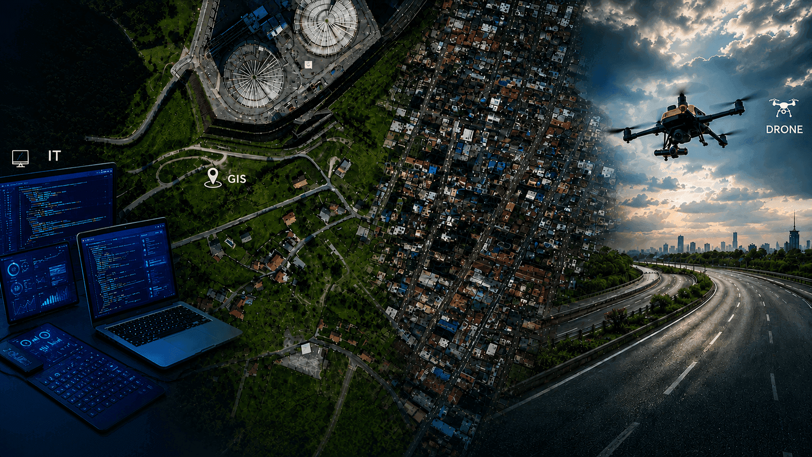
We deliver GIS mapping, drone surveys, LiDAR and geospatial data processing for infrastructure, utility, mining, government and planning projects. We also develop websites and mobile applications for organisations across sectors.
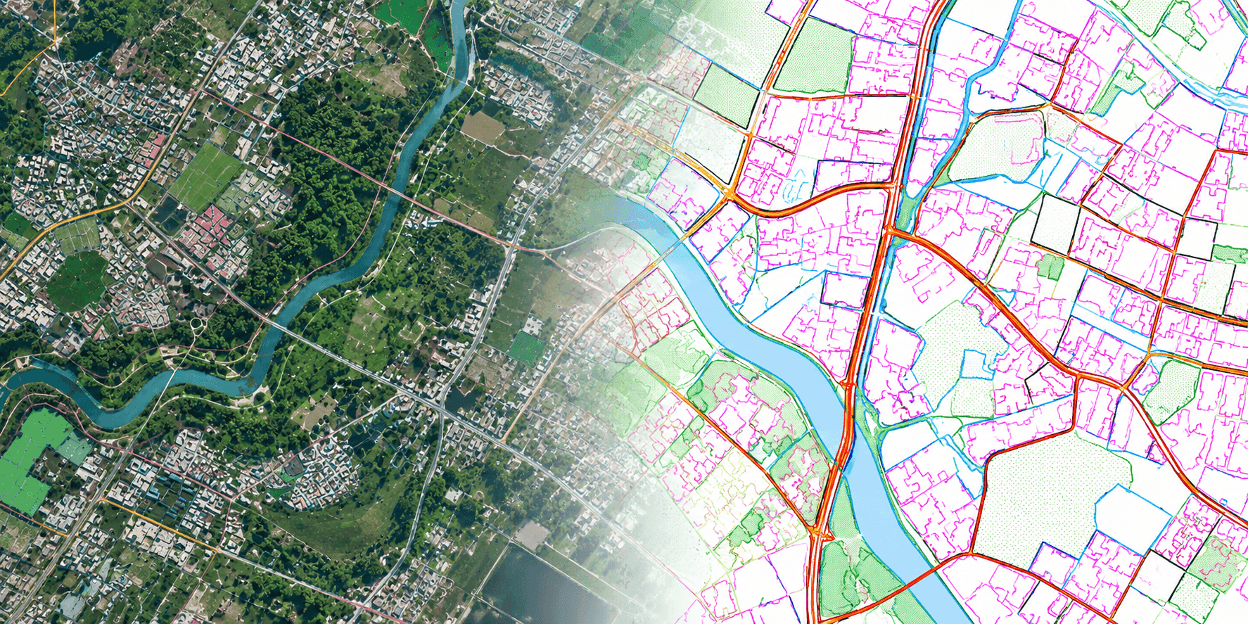
We create and organise geospatial data from satellite imagery, drone imagery, scanned maps, survey information, engineering drawings and existing databases. Our GIS mapping services cover data digitisation, georeferencing, feature extraction, attribute creation, database development and conversion of legacy information into structured GIS datasets.
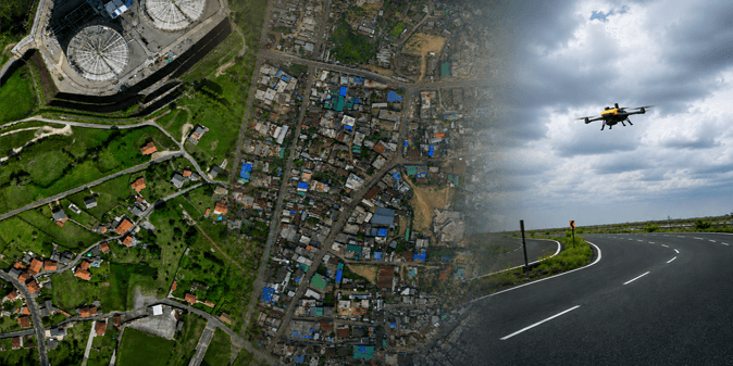
Drone-based mapping provides detailed spatial information for infrastructure, mining, land, construction, utility and planning assignments. Techmapperz supports drone survey and mapping workflows from project-area assessment and survey-data review through photogrammetric processing, terrain generation, feature extraction and GIS/CAD delivery. The methodology is defined according to the project area, terrain, available survey control, source-data characteristics, required accuracy and intended application.
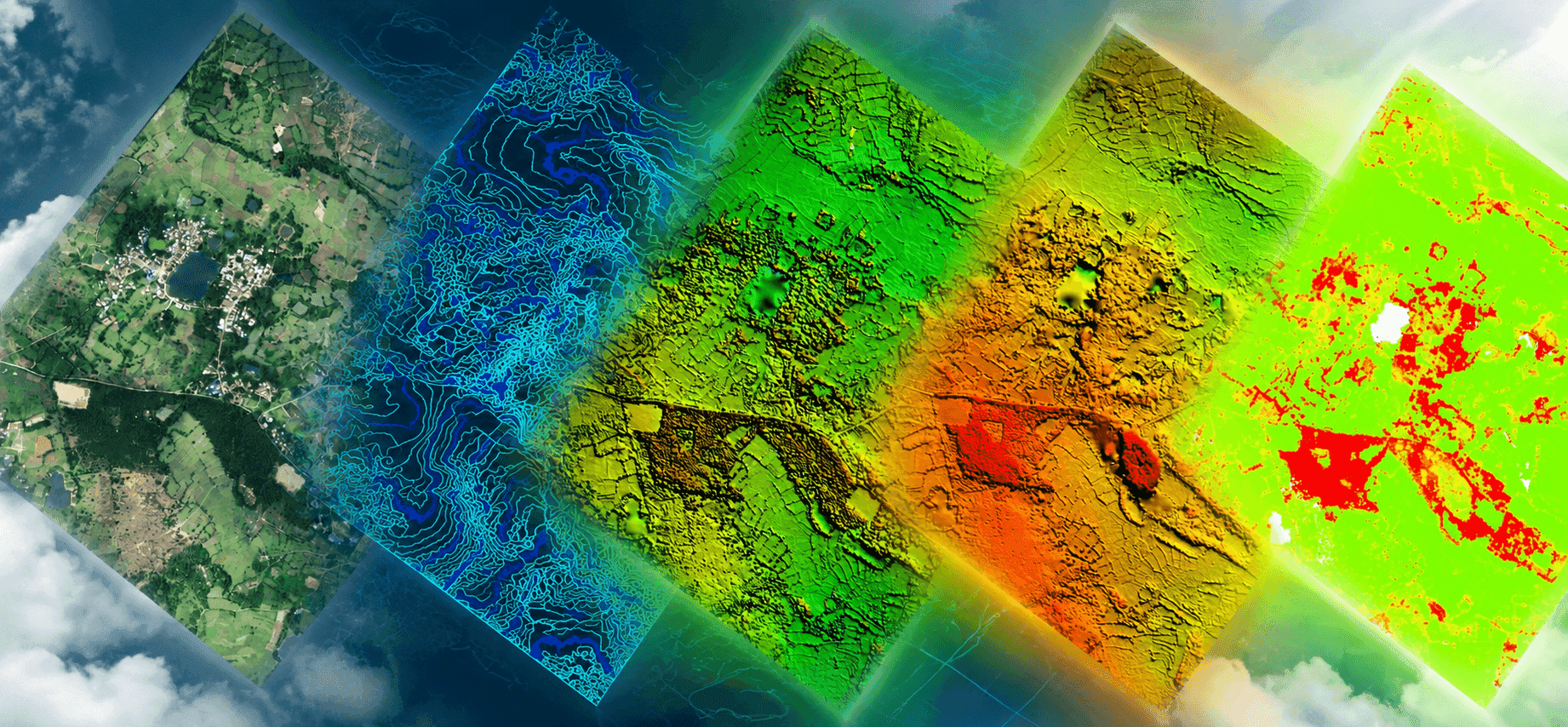
Already have the drone images? Survey and drone companies do not always require another team. If drone imagery has already been captured, Techmapperz can provide back-office photogrammetry and geospatial processing support. We review the available raw imagery, image coordinates, flight information, survey-control data and expected deliverables before confirming the processing methodology.

We design and develop responsive business websites and web platforms that present services clearly, support enquiries and provide structured access to digital content.

Techmapperz develops mobile applications for organisations that require field, customer, operational or business workflows on smartphones and tablets.
Techmapperz provides GIS data digitization, topographic mapping, utility mapping, cadastral mapping, asset mapping, feature extraction, land-use mapping, georeferencing, CAD/GIS conversion, spatial analysis, geodatabase development and related geospatial production services.
Share your project details, available data and timeline. Our specialists will review your requirements and propose an effective execution plan.