Loading Techmapperz...

Enterprise GIS mapping, drone surveys, LiDAR data processing, and custom digital web & mobile applications.
Explore valuable insights, blogs, and company events on IT and GIS solutions.
Loading Techmapperz...

Geospatial requirements differ across project domains. Infrastructure engineers require CAD-compatible base maps, utility operators demand topologically connected networks with structured asset attribution, and land administrators rely on parcel boundaries calibrated to historical cadastral sheets.
Before commencing production, Techmapperz reviews available source data, projection systems, target mapping scales, feature catalogues, attribute schemas, topology rules and desired delivery formats.
This disciplined preparation guarantees that resulting GIS data integrates smoothly into your engineering, planning, asset management or corporate GIS environment.
Already have GIS, CAD or survey data?
Share your existing drawings, shapefiles or survey spreadsheets. Techmapperz can review, clean, restructure, edge-match, convert or update your datasets without re-capturing data from scratch.
Share Your Existing Data →
We prepare, map and analyse spatial data for infrastructure, utilities, mining, land and planning projects.

Paper maps, scanned plans, imagery and existing records often contain valuable spatial information but cannot be queried or updated effectively until converted into structured GIS datasets. Techmapperz digitises spatial features and associated attributes according to the required feature catalogue, layer structure, coordinate reference system and project specification.

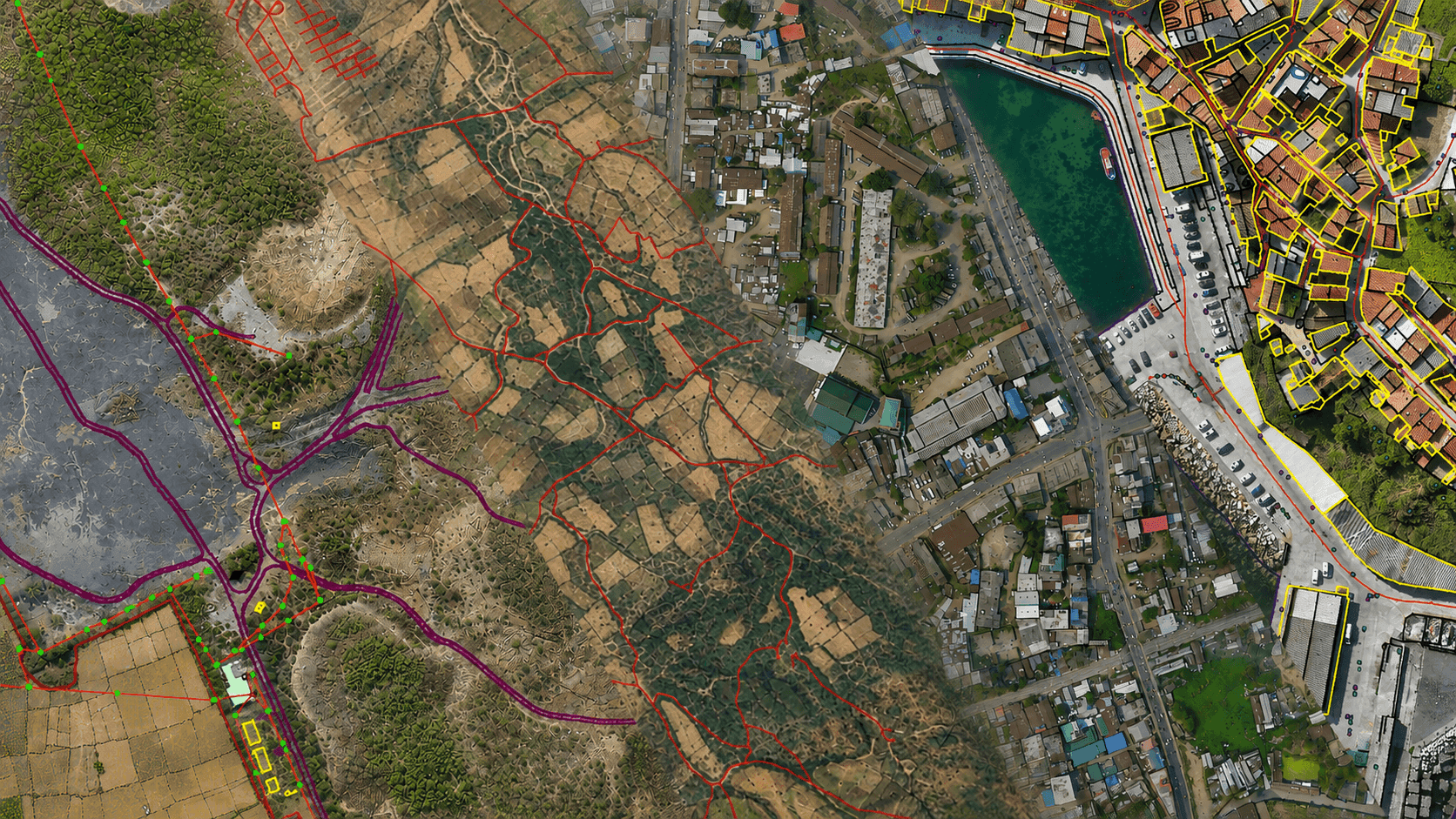
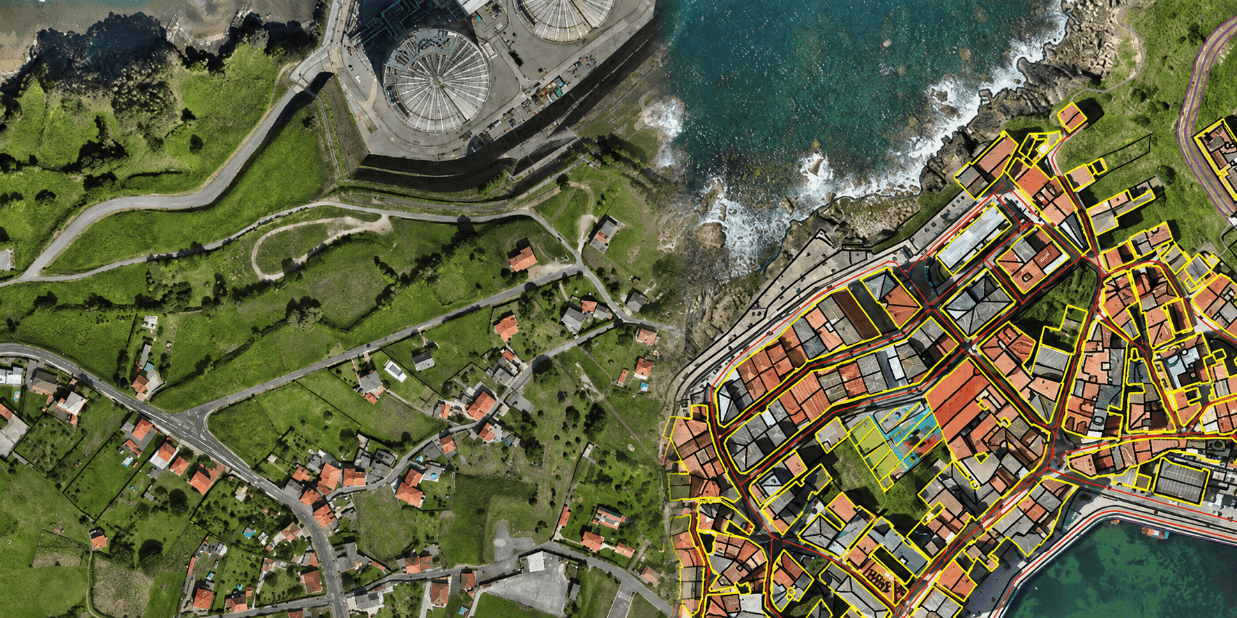
We extract visible and interpretable geographic and infrastructure features from high-resolution satellite imagery, drone orthomosaics, and LiDAR point clouds. The feature catalogue is agreed before production begins so that roads, building footprints, vegetation, utilities and terrain boundaries are captured with consistent precision.

Techmapperz compiles and organizes spatial databases for gas pipelines, water and sewer distribution networks, electrical grids and linear utilities. Network connectivity, asset locations and descriptive attributes are modeled to support maintenance, engineering studies and GIS-based asset management systems.

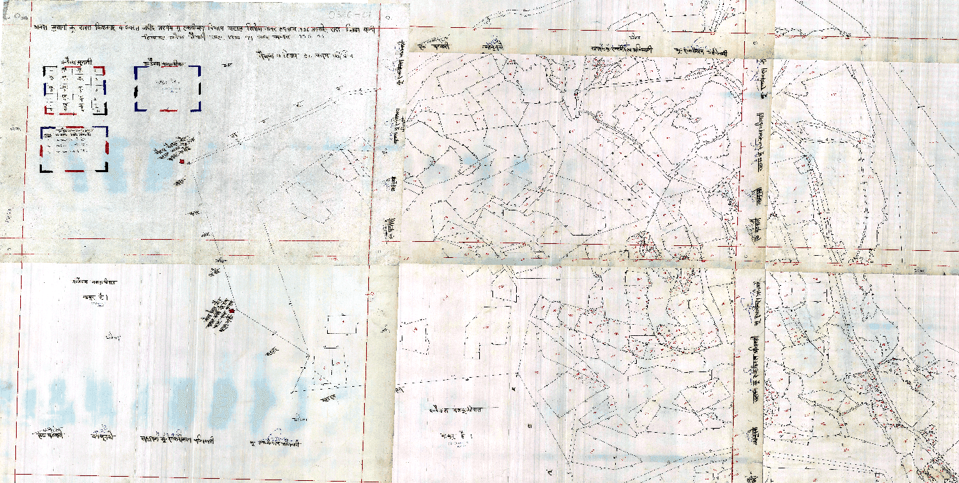
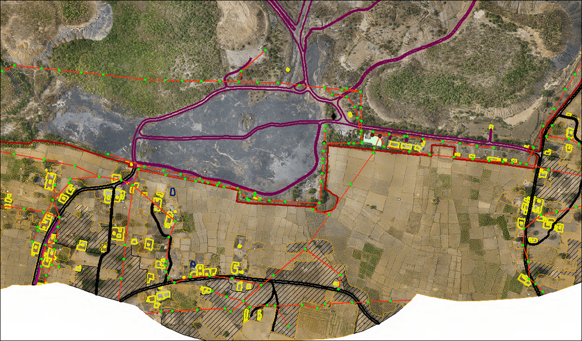
Techmapperz georeferences historical cadastral sheets, revenue maps and parcel records into rectified, projection-accurate GIS layers. We digitize parcel boundaries, associate survey plot numbers, edge-match adjacent sheets and integrate tabular land records for land management, infrastructure corridor planning and master plans.
-Mapping.png&w=3840&q=75)
We prepare detailed LULC datasets through multi-spectral satellite imagery interpretation and semi-automated remote sensing classification. Projects are tailored to specific classification schemes (NRSC/USGS standards), mapping scales, minimum mapping units and temporal change detection intervals.

Techmapperz designs and develops custom Web GIS platforms, interactive map dashboards and mobile GIS applications. We enable organizations to visualize, query, analyze and share spatial datasets across departments securely on web browsers and mobile devices.

Techmapperz applies spatial analysis to solve complex location questions—such as accessibility, corridor alignment, proximity, terrain suitability and multi-criteria site selection. We deliver processed spatial models, heatmaps and analytical reports ready for engineering and executive decision-making.
Share your project location, source data availability, required layer categories and completion timeline. Our senior geospatial consultants will review your scope.
Our step-by-step production workflow balances speed, technical consistency and proactive client communication.
We review the project scope, source formats, coordinate systems, feature catalogue, required attribute schema, accuracy targets and delivery timeline.
For large or complex assignments, a representative pilot area is prepared and reviewed to calibrate layer naming, symbology and interpretation rules.
Our experienced geospatial team carries out digitisation, 2D/3D feature extraction, georeferencing, remote sensing classification or data conversion.
Rigorous quality controls inspect projection consistency, geometric topology, attribute integrity, edge-matching and layer schema compliance.
Intermediate milestones and review packages are submitted to incorporate client observations and refine outputs before final sign-off.
Approved spatial databases, project maps, metadata and validation reports are organized and delivered in agreed GIS and CAD formats.
From transport corridors and utility networks to mines and land records, our GIS services support the practical needs of each project.
Topographic and corridor mapping, terrain data and asset layers for road, railway and civil projects.
Pipeline, water, drainage and power-network mapping with structured asset data.
Mine features, haul roads, terrain and land-use mapping for planning, measurement and documentation.
Digitised cadastral maps, parcel boundaries, land records and municipal asset databases.
Base maps, building footprints, land use, roads, drainage and utility layers for planning.
Plantation, vegetation, land-use, terrain and water-resource mapping for agricultural and environmental studies.

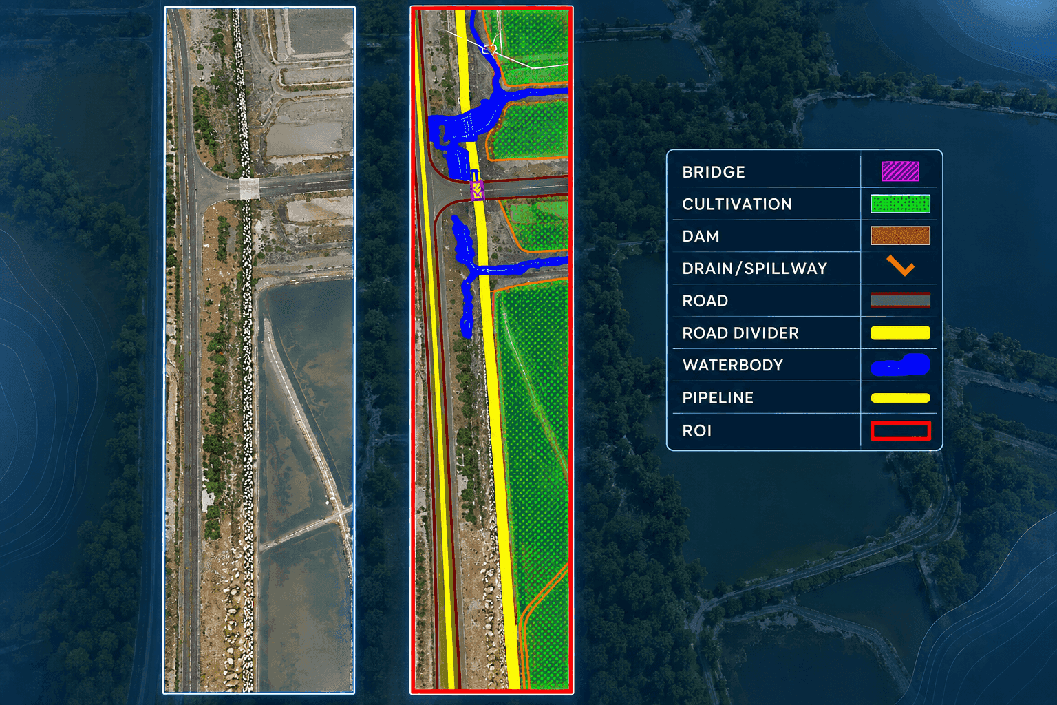
Techmapperz completed a large-scale 2D feature extraction and GIS/CAD spatial database creation project covering 556.674 sq. km of active mining and surrounding industrial terrain. High-resolution aerial drone imagery was processed to digitize critical operational, environmental, and infrastructure layers with rigorous topological consistency.
Key Vector Features Extracted
We define the feature catalogue, layer naming, projection, attribute schema and topology rules before production begins to prevent costly rework.
Our project portfolio spans hundreds of square kilometres across railway corridors, mining leases, utility networks and cadastral mapping programs.
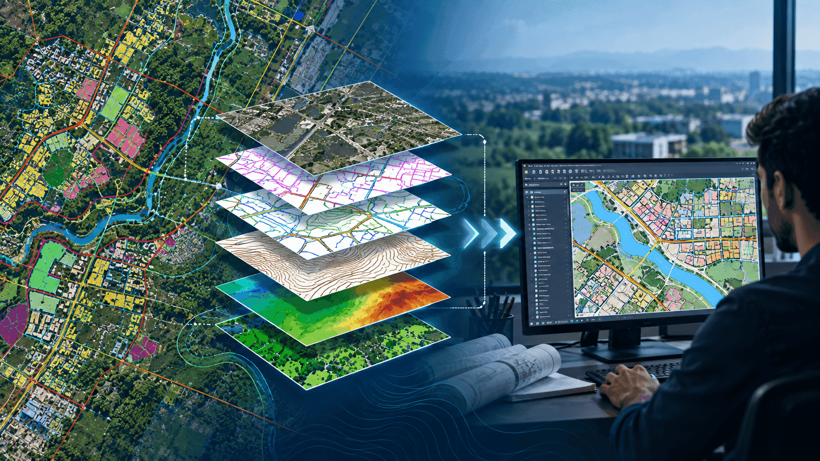
We seamlessly combine satellite imagery, drone orthomosaics, LiDAR point clouds, CAD blueprints, survey coordinates and legacy scanned records.
Structured quality audits verify spatial accuracy, geometry, topology (no dangles/slivers), attribute completeness and projection standards.
Deliverables are structured for your exact target environment—whether Esri ArcGIS, QGIS, AutoCAD, MicroStation, PostGIS or cloud Web GIS.
Sample approvals, phased milestone deliveries, regular technical syncs and structured defect tracking ensure complete schedule adherence.
Techmapperz provides end-to-end GIS services including GIS data digitisation, 2D/3D feature extraction, utility and pipeline mapping, cadastral map georeferencing and digitisation, land use/land cover (LULC) classification, CAD to GIS conversion, spatial analysis and custom Web GIS application development.
Share whatever information is currently available—such as project boundaries, source data formats, approximate area or corridor length, required deliverables and expected timeline. Our senior geospatial team will review your specifications and propose an optimal production workflow.