


GIS
2024-08-27
MMoumita Baksi
What are the roles of Remote Sensing and GIS in landslide studies?
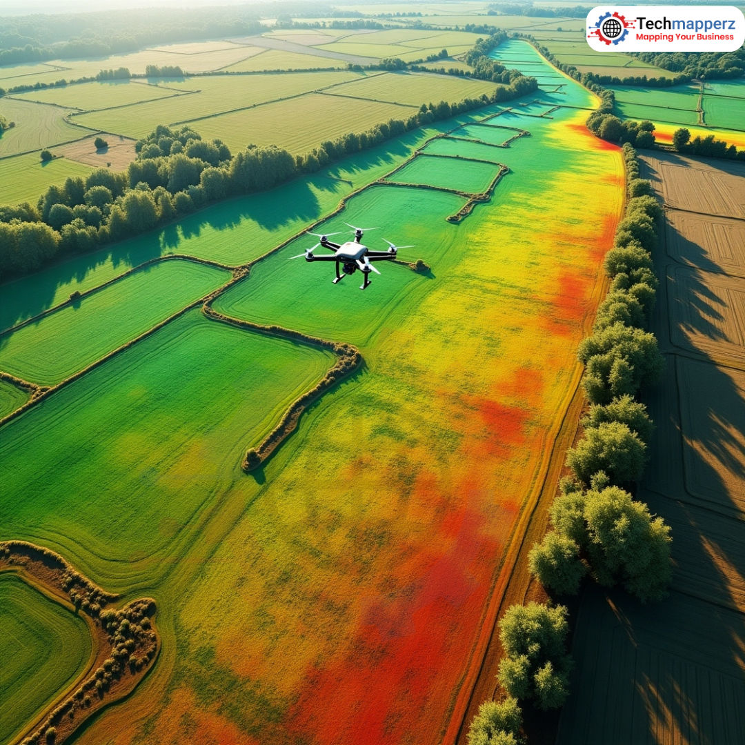
Use of remote sensing in the study of landslides Data Acquisition: Remote sensing is a versatile source of information...
Read Article1 comments
Loading Techmapperz...

Practical technical breakdowns, methodologies, and engineering workflows on GIS mapping, drone surveying, LiDAR data processing, and enterprise digital solutions.
Browse our collection of verified geospatial field notes and IT articles.
Share your project details, aerial specifications, or software requirements. Our team will review your scope and suggest an optimal workflow.
Use of remote sensing in the study of landslides Data Acquisition: Remote sensing is a versatile source of information...

PWAs are currently considered to be the most important trend in mobile web development. Google just developed the PWA te...

Digital payments are now the norm as a result of the present pandemic. The Unified Payments Interface (UPI) is a blessin...

What Products Cannot Be Returned? Some products aren't returnable or refundable due to federal and state regulations, as...

Benefits of Mobile Application in Online Business. Globally, the number of mobile users has surpassed that of des...
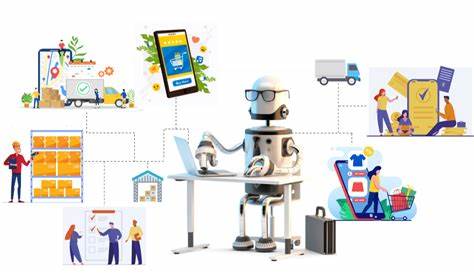
Running an e-commerce store can be a laborious and time taking task. There are too many efforts and task that needs to b...