
Loading Techmapperz...
Loading Techmapperz...
A drone imagery-based cartographic digitisation project, processing raw aerial imagery into orthophoto data and developing detailed GIS datasets for a wide range of physical, urban, environmental and infrastructure features.
TECHMAPPERZ executed a comprehensive cartographic digitisation project using raw drone imagery to generate orthophoto imagery and detailed geospatial datasets.
The project involved mapping multiple thematic layers, including buildings, land cover, transport, water bodies, coastal features, urban elements, services and boundary areas.
Using structured GIS digitisation and feature classification, the project captured both major features and detailed elements using point, line and polygon geometries.
Detailed aerial imagery contains a wide range of physical and infrastructure features that need to be consistently identified, classified and digitised according to defined specifications.
The project required:
TECHMAPPERZ processed the supplied raw drone imagery to generate orthophoto imagery suitable for detailed visual interpretation and feature digitisation.
The processed imagery was used to systematically map buildings, land cover, transport, water bodies, coastal features, urban elements, services and boundary areas. Each feature was classified according to the defined codes, descriptions, themes and sub-categories, ensuring consistency across the final geospatial datasets.
Processed the supplied raw drone imagery to generate orthophoto imagery for detailed mapping.
Organised the mapping structure into the required themes and feature categories.
Digitised buildings, roads, land cover, water bodies, coastal features, boundaries and other physical features using appropriate geometries.
Assigned the required codes, descriptions, themes and sub-categories to the mapped features.
Completed quality checks and prepared the final datasets in GeoPackage, Shapefile and CAD formats.
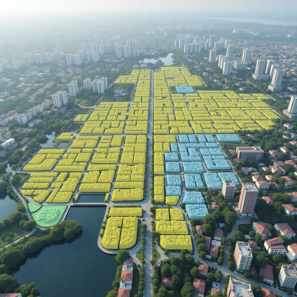
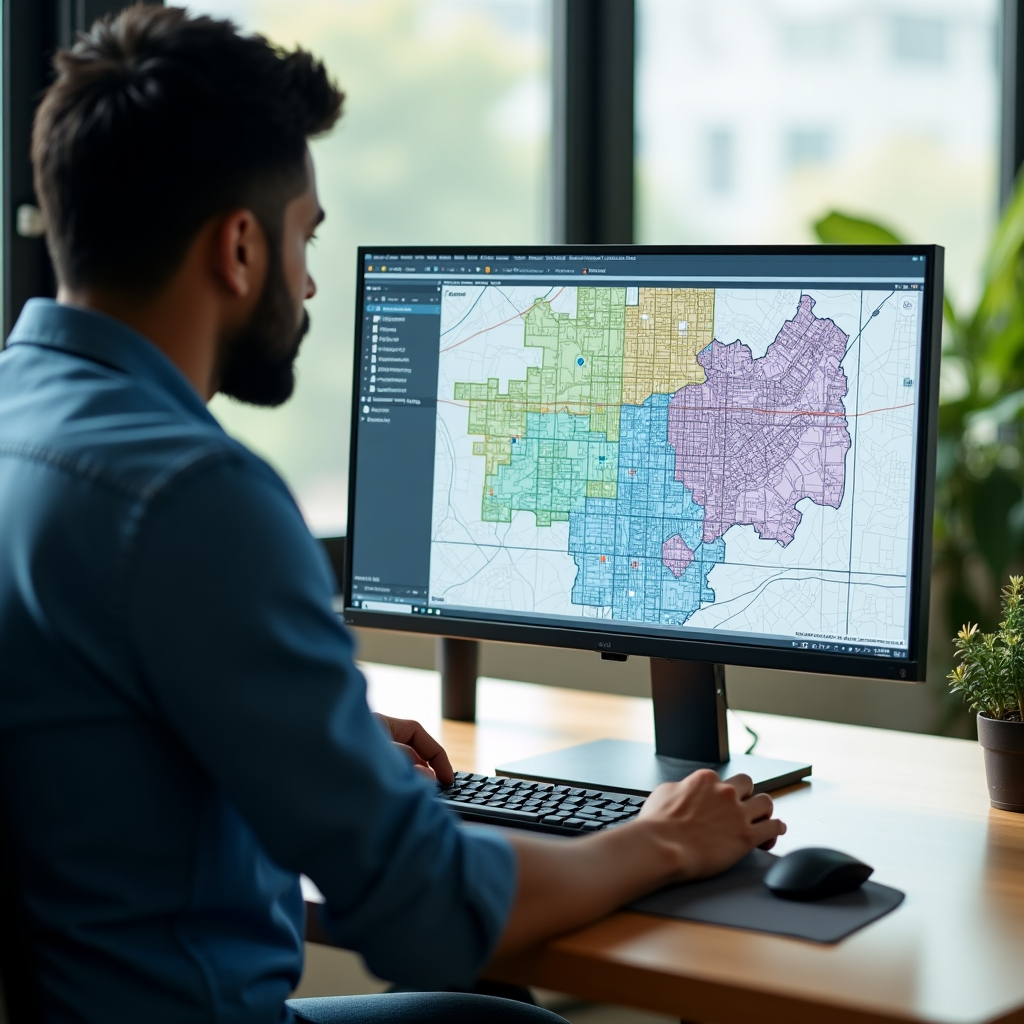
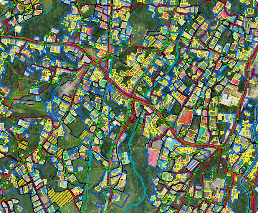
The project transformed raw drone imagery into a comprehensive cartographic dataset, capturing detailed physical, environmental, urban and infrastructure features in a structured GIS environment.
The resulting dataset provides a comprehensive digital representation of the mapped environment, supporting GIS-based analysis, visualisation and future geospatial workflows.