
Loading Techmapperz...
Loading Techmapperz...
A 500 sq. km GIS-based land use and land cover mapping project covering urban and rural regions, creating multi-layer spatial datasets for settlement, land-use and infrastructure analysis.
Techmapperz conducted a GIS-based land use and land cover mapping project across urban and rural regions.
The project involved analysing more than 15 geospatial layers to understand land-use distribution, settlement structures, habitation patterns and infrastructure.
The resulting spatial database supports development planning, infrastructure expansion and environmental management.
Understanding urban and rural regions requires the integration of multiple spatial datasets covering settlements, land use, infrastructure and population patterns.
The project required:
Techmapperz developed a multi-layer GIS mapping workflow to analyse settlements, land-use categories, infrastructure networks and population density.
Remote sensing imagery, drone data and field verification were integrated to support the mapping process and development of the spatial database.
Defined the study area and required spatial datasets.
Integrated multiple geospatial layers for settlement and land-use analysis.
Classified land-use and land-cover categories across the study area.
Delineated settlement boundaries using spatial information.
Developed the final geospatial database for planning and infrastructure development.
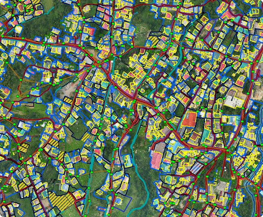
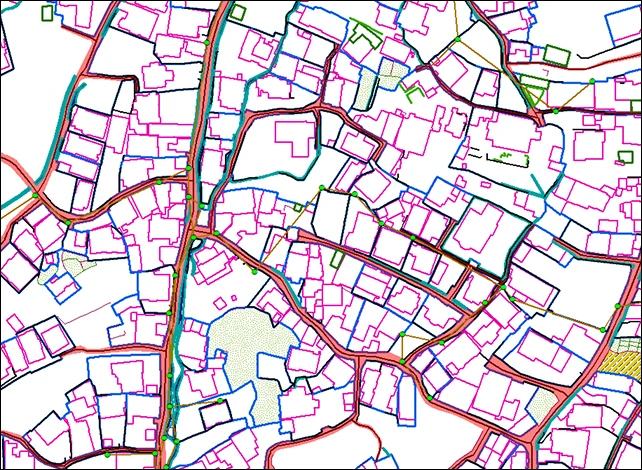
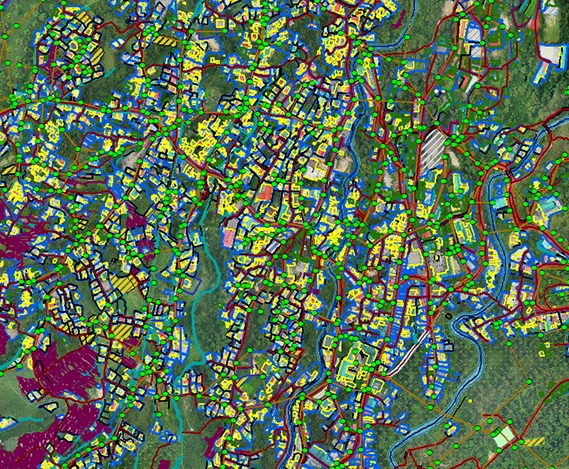
The project resulted in a comprehensive geospatial database supporting land-use planning and regional development strategies.
The GIS database provides a spatial framework for urban planning, rural development and infrastructure expansion.