
Loading Techmapperz...
Loading Techmapperz...
A GIS-based navigation mapping system covering 8,000 km of road networks, developing structured road attributes and a centralised geospatial database for transportation planning and smart mobility.
TECHMAPPERZ executed a GIS and navigation technology-based digital mapping project to create a comprehensive road network dataset supporting intelligent transportation planning and infrastructure monitoring.
The project focused on mapping an 8,000 km road network and developing a centralised geospatial database for route analysis, mobility planning and infrastructure management.
Using GIS spatial analysis and navigation mapping techniques, the project supports data-driven transportation and mobility planning.
Large road networks require accurate and structured navigation data to support transportation planning, route analysis and infrastructure monitoring.
The project required:
TECHMAPPERZ implemented a digital road mapping and GIS-based navigation workflow to develop a structured road network database.
Road features were mapped with attributes including surface type, road width and road condition, creating a centralised dataset for transportation analysis and visualisation.
Defined the road network scope and required navigation attributes.
Digitised the road network and captured relevant road attributes.
Built a centralised database for road network information.
Structured the data for route analysis and transportation planning.
Delivered a navigation-ready geospatial dataset for planning and monitoring.
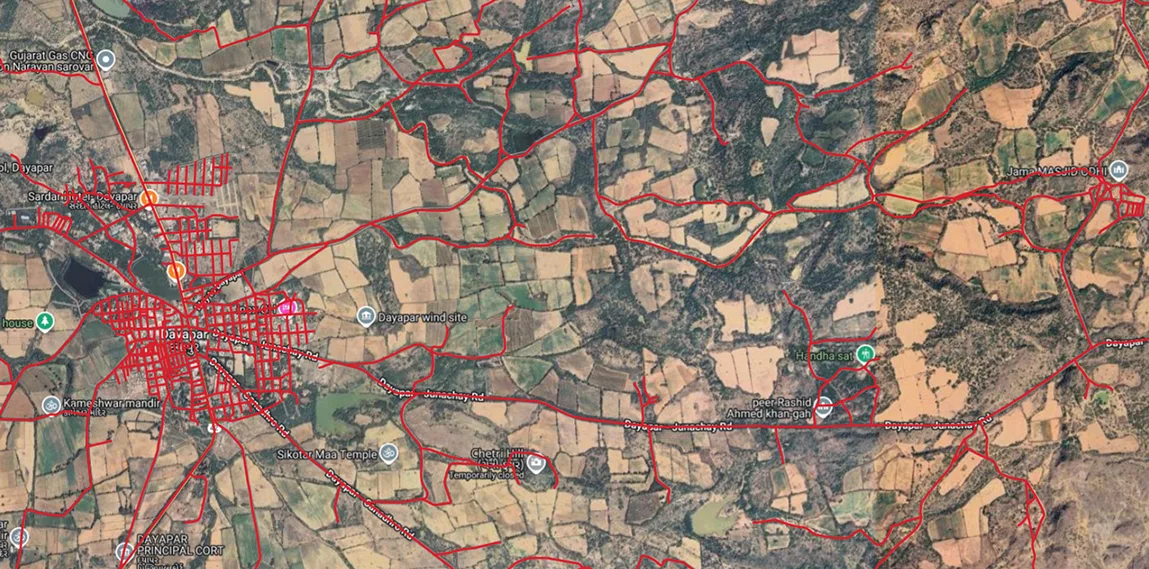
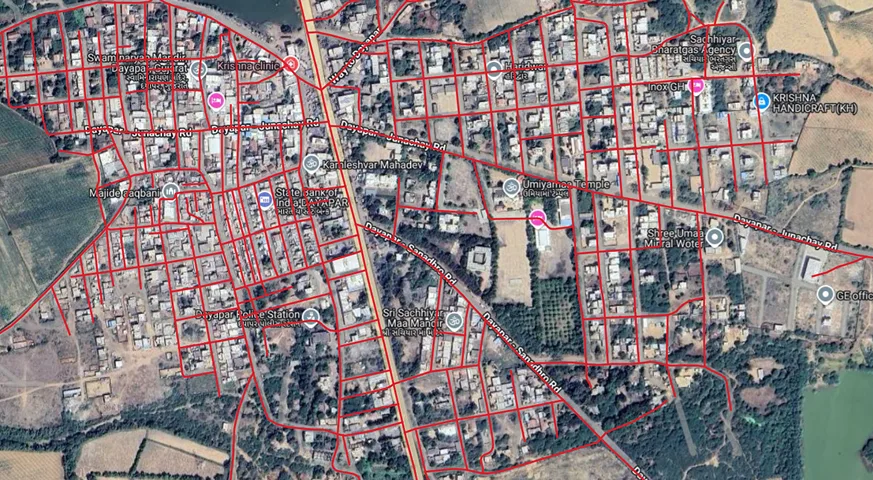
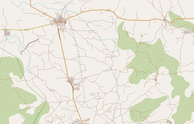
The project delivered a comprehensive geospatial road network database supporting mobility planning and infrastructure monitoring.
The resulting platform provides a geospatial foundation for intelligent transportation systems and long-term mobility planning.