
Loading Techmapperz...
Loading Techmapperz...
TECHMAPPERZ conducted a 173 km drone-based LiDAR survey in Uttar Pradesh to generate high-precision topographic data for railway infrastructure planning. The project delivered detailed terrain models, L-sections, X-sections, and feature mapping within a 100 m corridor, enabling accurate railway design and faster survey execution.
TECHMAPPERZ conducted a Drone-based LiDAR and aerial imaging survey for a railway corridor mapping project in Uttar Pradesh.
The survey covered a 173 km railway alignment, capturing high-resolution terrain and elevation data within a 100-meter corridor to support precise railway infrastructure planning and engineering design.
Using advanced LiDAR technology and drone mapping workflows, the project enabled rapid terrain data acquisition and highly accurate topographical modeling for railway development.
Railway corridor projects require accurate and continuous terrain data over long distances to support elevated and at-grade infrastructure engineering.
For this project, the key challenges and focus areas included:
TECHMAPPERZ implemented a drone-based LiDAR survey approach combined with aerial photogrammetry to capture high-density terrain data across the entire corridor.
The project was structured to ensure clear data flow—from acquisition to processing to engineering outputs—so that the client could directly use the results for railway planning and design, enabling faster execution while maintaining sub-3 cm ground sampling accuracy.
Define alignment coverage, corridor width and output requirements.
Acquire LiDAR and aerial imagery with consistent route coverage.
Process the point cloud and separate terrain information.
Build terrain models, features, profiles and section outputs.
Structure the final data for planning, design and review.
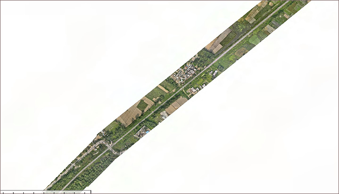
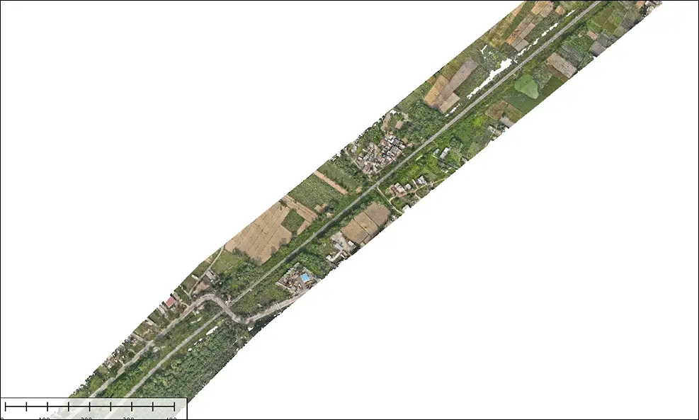
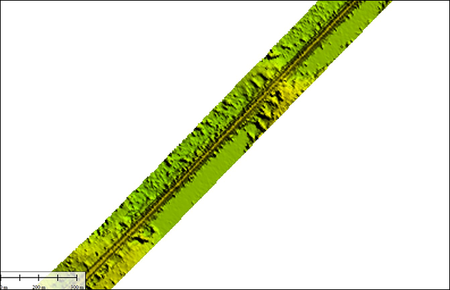
The 173 km railway survey delivered a verified digital terrain model and 2.5 cm/pixel ground sampling distance (GSD), with sub-5 cm horizontal and vertical RMSE accuracy validated against DGPS ground control points.
The LiDAR dataset provides a reliable digital foundation for railway corridor engineering, alignment planning, and infrastructure development.