
Loading Techmapperz...
Loading Techmapperz...
A drone-based mapping and 2D feature extraction project covering 556.674 sq. km of mining areas, integrating aerial data with GIS and CAD environments for planning and operational analysis.
Techmapperz conducted a drone-based mapping and 2D feature extraction project across multiple mining sites.
The project involved extracting critical surface features from aerial data and integrating them into GIS and CAD environments for mine planning, land-use analysis and infrastructure monitoring.
Mining areas contain diverse surface features and infrastructure that require accurate spatial representation for planning and operational management.
The project required:
Techmapperz used drone-based aerial mapping and GIS feature digitisation to extract and organise key features across the mining areas.
The workflow integrated GIS and CAD outputs to provide structured spatial information for mine planning, land-use analysis and infrastructure management.
Collected drone-based aerial data across the mining areas.
Identified and extracted key surface, land-use and infrastructure features.
Converted extracted features into structured GIS layers.
Prepared compatible geospatial outputs for engineering and planning workflows.
Delivered structured spatial datasets for mine planning and infrastructure monitoring.
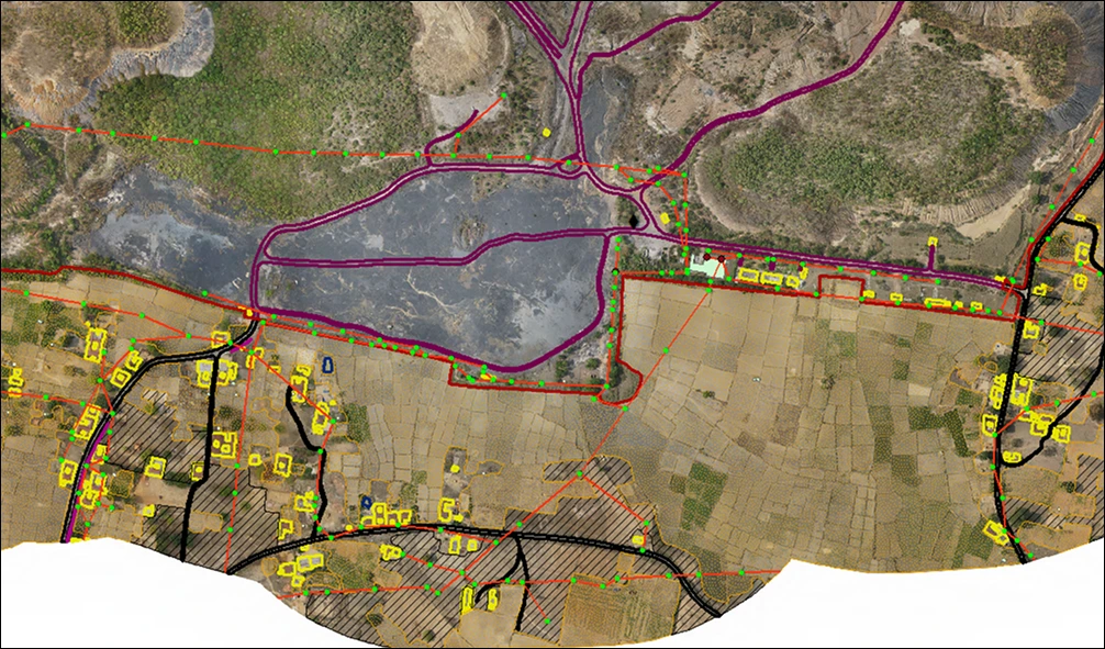
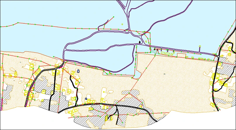
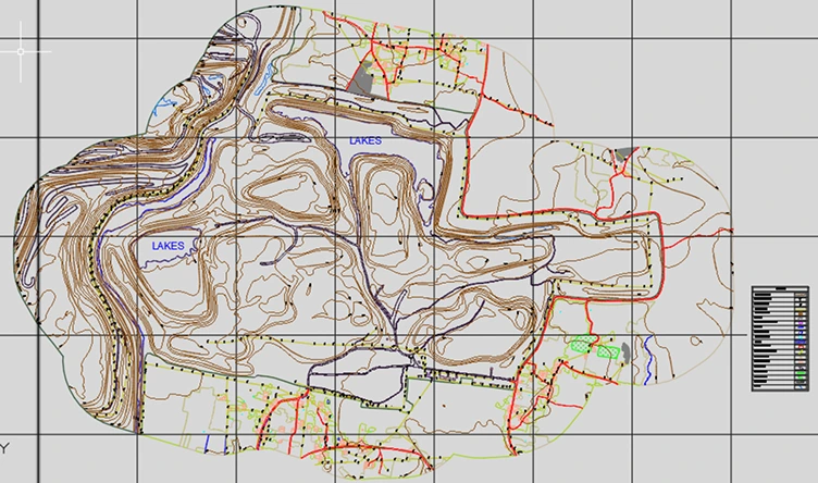
The project created a detailed geospatial dataset supporting mining operations and land management planning.
The resulting dataset provides a reliable geospatial foundation for mining infrastructure planning and resource management.