
Loading Techmapperz...
Loading Techmapperz...
A GIS and drone-based mapping project covering 65.45 sq. km, generating 10 feature-class datasets and more than 50 feature layers for industrial planning and infrastructure development.
Techmapperz conducted a GIS and drone-based mapping project for an industrial region to support spatial planning, landbank identification and infrastructure development.
The project generated 10 feature-class datasets and more than 50 feature layers, creating a detailed geospatial database for industrial planning and sustainable development.
Industrial development requires accurate spatial information to understand land availability, land use, infrastructure connectivity and surrounding areas.
The project required:
Techmapperz used drone imagery and GIS-based spatial analysis to develop a detailed geospatial database for industrial planning.
The workflow supported land-use classification, zoning analysis, infrastructure connectivity and spatial assessment for industrial site planning.
Captured high-resolution aerial information across the industrial region.
Processed the collected imagery for spatial mapping.
Created feature classes and thematic spatial layers.
Performed land-use, zoning and infrastructure connectivity analysis.
Delivered structured geospatial datasets for industrial planning and development.
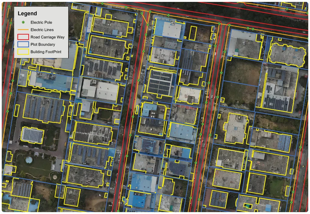
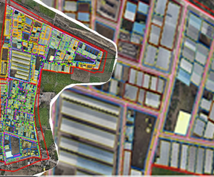
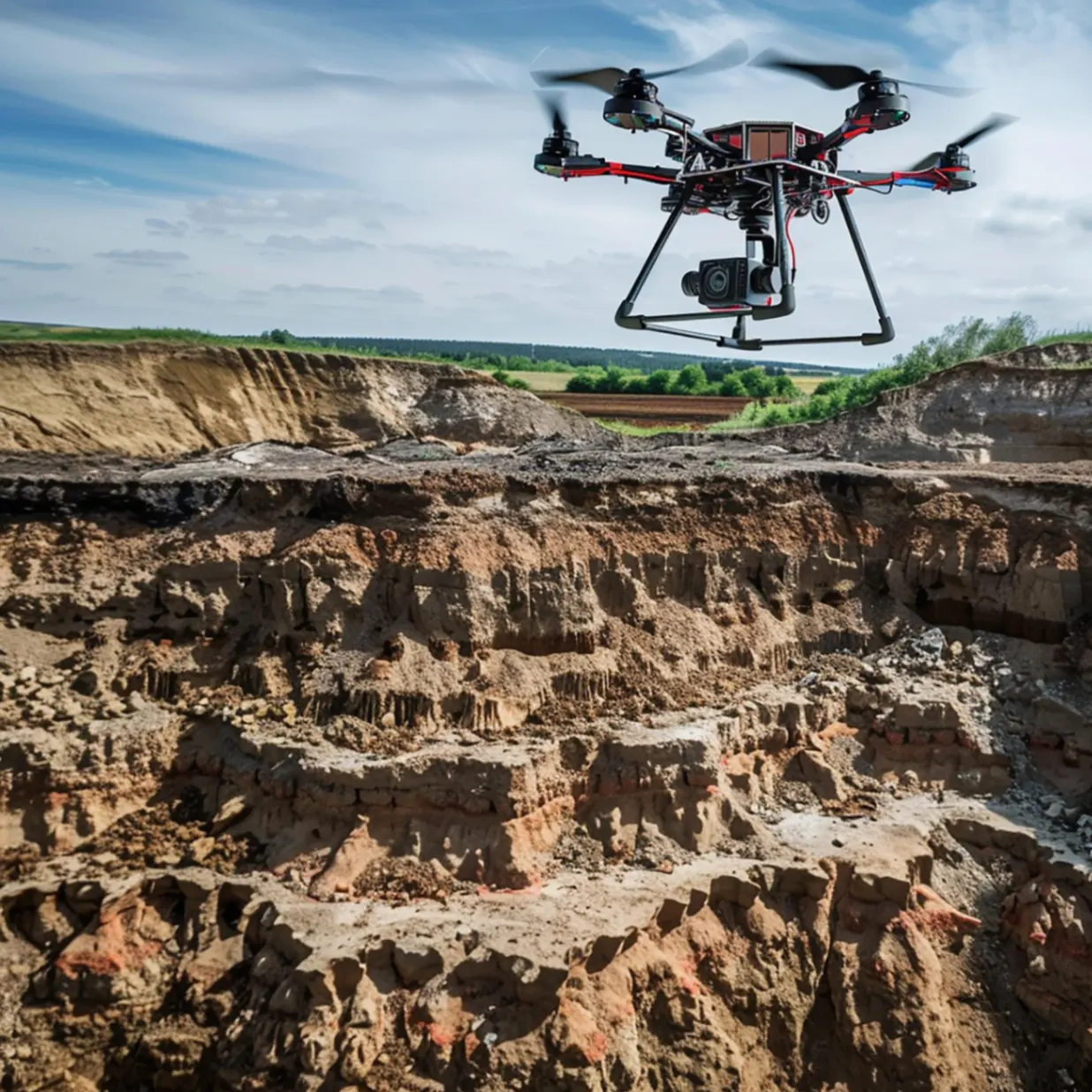
The project resulted in a comprehensive geospatial database supporting industrial development and infrastructure planning.
The resulting GIS platform provides a spatial framework for industrial planning and long-term regional development.