Reliable and accurate mapping can be done with the help of GIS Surveying as it uses modern surveying techniques alongwith geographic data collection. We can get access to the spatial data of various sectors such as environmental monitoring, urban planning,etc. with the integration of Aerial mapping, Remote Sensing and GPS with GIS Surveying.
Our GIS Surveying Services
We offer GIS Surveying services that meet your project requirements. The provided GIS Surveying services are:
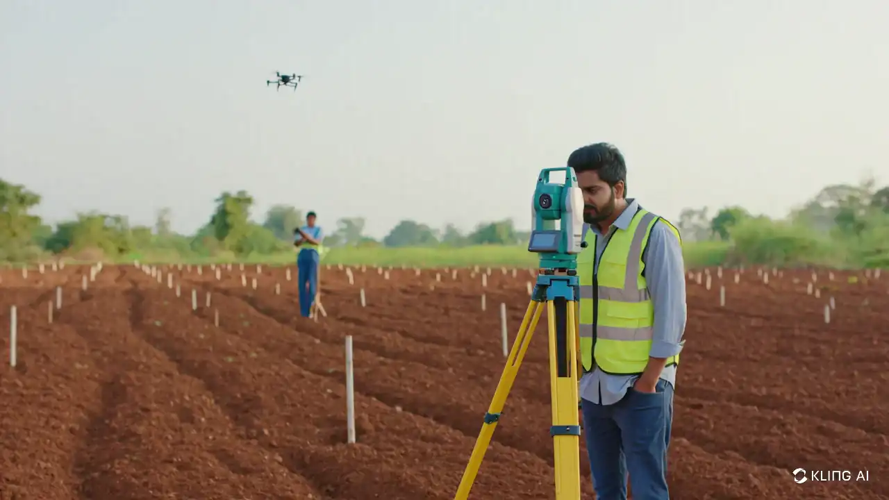
Land Surveying
Land Surveying services can be used when characteristics of a site are required along with it it can be used for boundary determination and elevation data also. Ensuring that we provide accurate data of surveys for construction, boundary of properties and even for land development including the topographical survey which can be used sor site designing and planning.
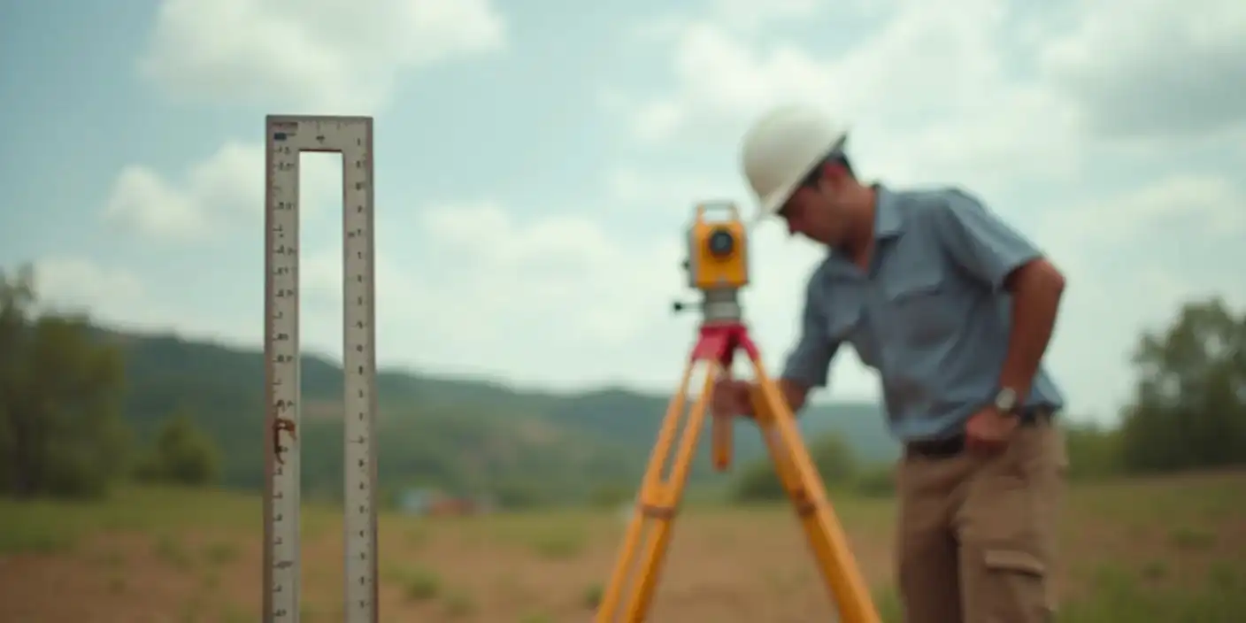
Geodetic Surveying
To gather precised data of areas that are vast which are mostly used for large projects Geodetic surveying is the most suitable service. To ensure proper measuremnts are taken for infrastructral projects like pipelines, power grids and even highways geodatic surveying can support large-scale mapping with the generationof geodatic control network.
LiDAR Surveying
LiDAR technology is one of those which can be used to gather detailed 3D data which is the most accurate and precised representation pf the Earth’s surface. This leads to proper utilization of models generated from the terrains so that it can be used for flood mapping, environmental studies, and infrastructure developments. This service is the best option for the places where traditional methods are more time consuming and harder and places those are vast or inaccessible.
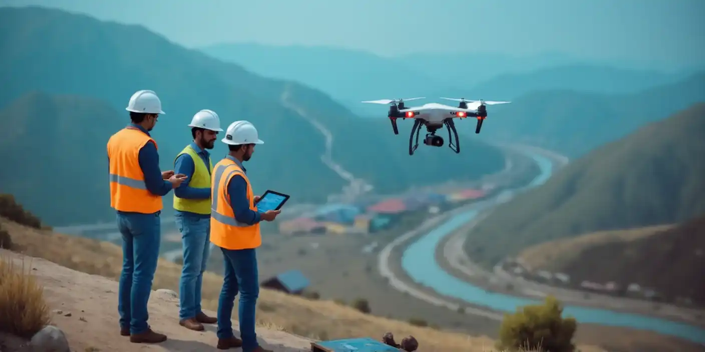
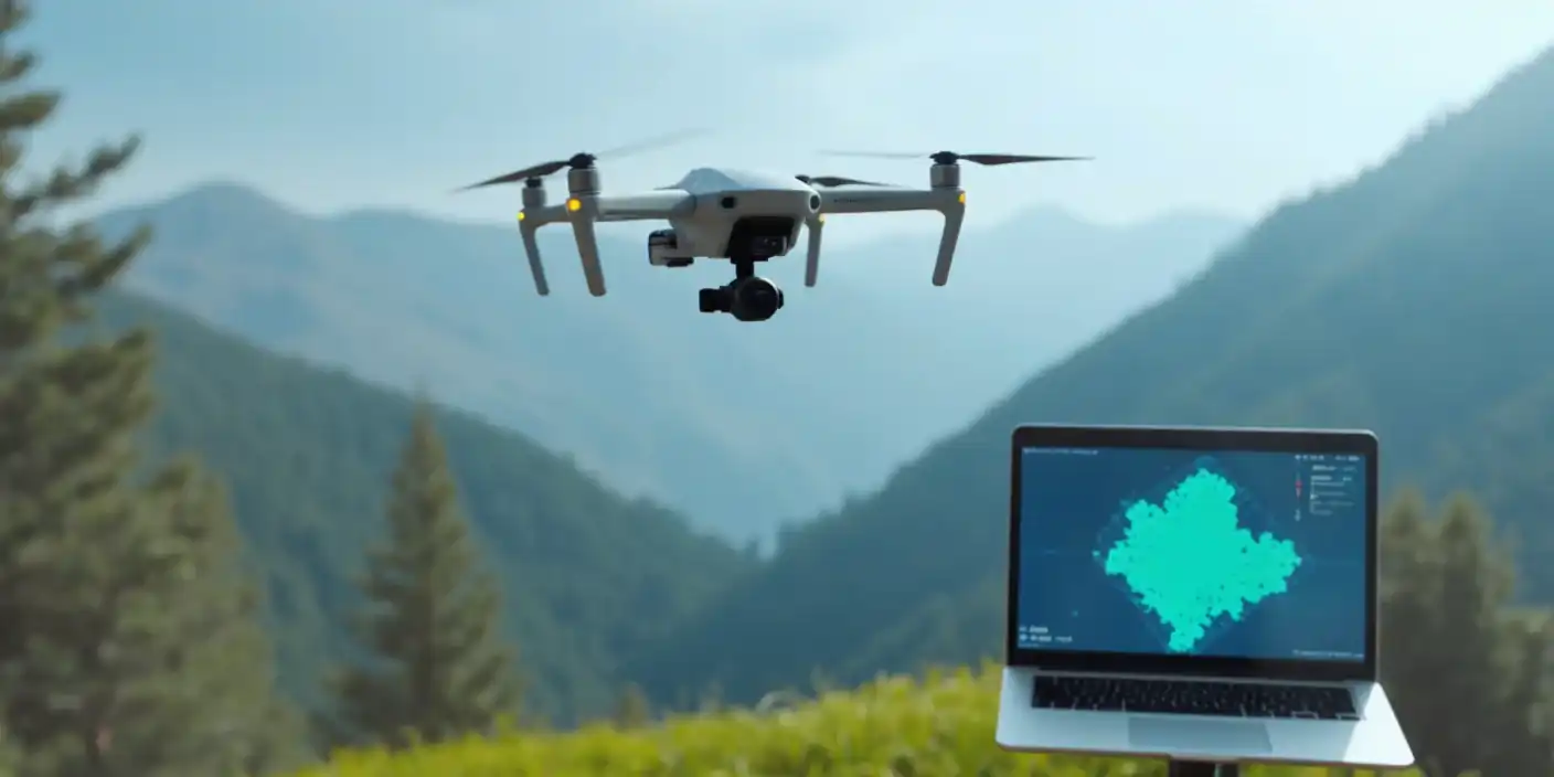
Aerial and Drone Surveying
With the help of drones we implement aerial surveys which can provide us 3D models along with high-resolution and real-time images. This service can be used in various sectors such as agriculture, land monitoring and even for the construction field ensuring with data that is quickly gathered that too comprising a vast area while cutting cost.