
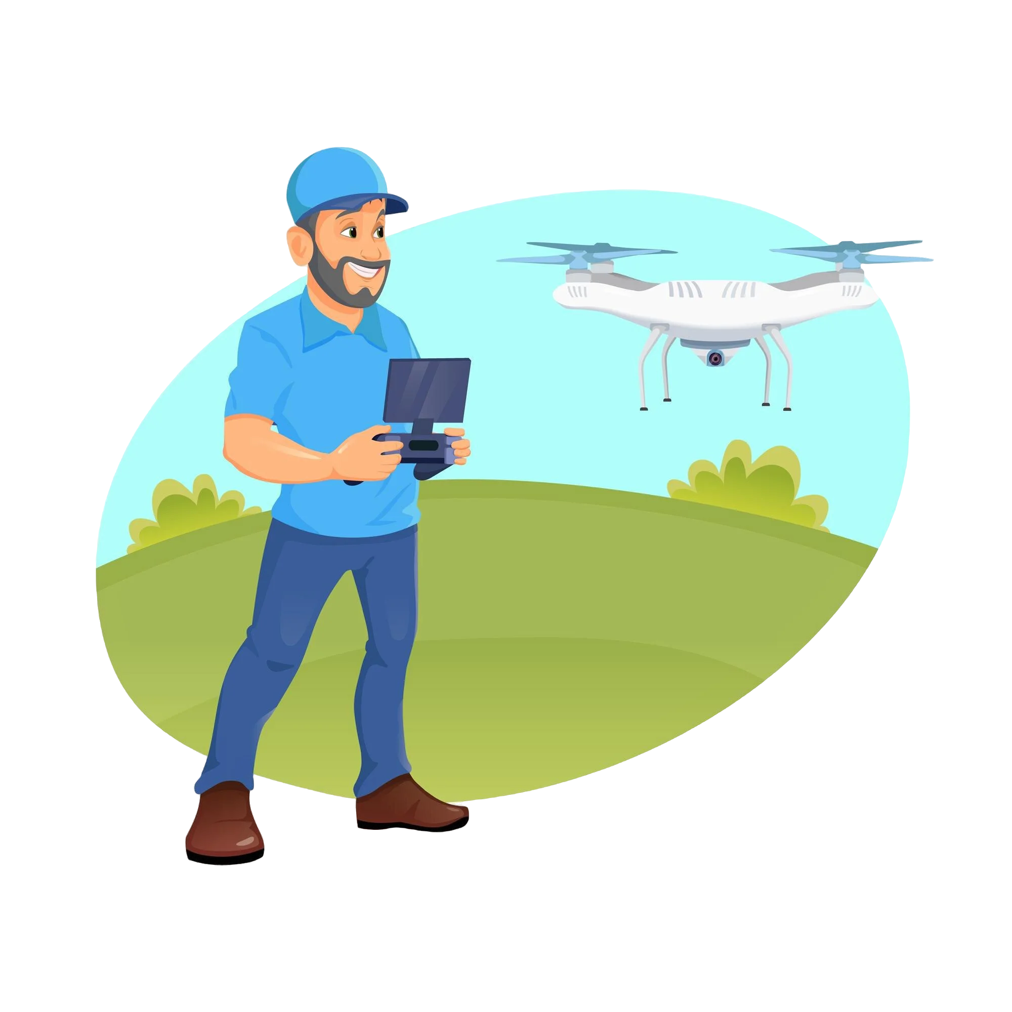
Techmapperz uses current drone technology to deliver accurate, effective, and affordable aerial solutions. The drone services we provide can help in revolutionizing the data collection, analysis and presentation across sectors (infrastructure, agriculture, construction, utilities, environmental management etc.). The synergy of drones and GIS technology produces accurate and high resolution data that not only makes better decisions but also minimizes risk and maximizes efficiency.
High Resolution Data Acqisition
Tailored Drone Solutions
Efficient and Cost Effective
Expert Analysis and Insights