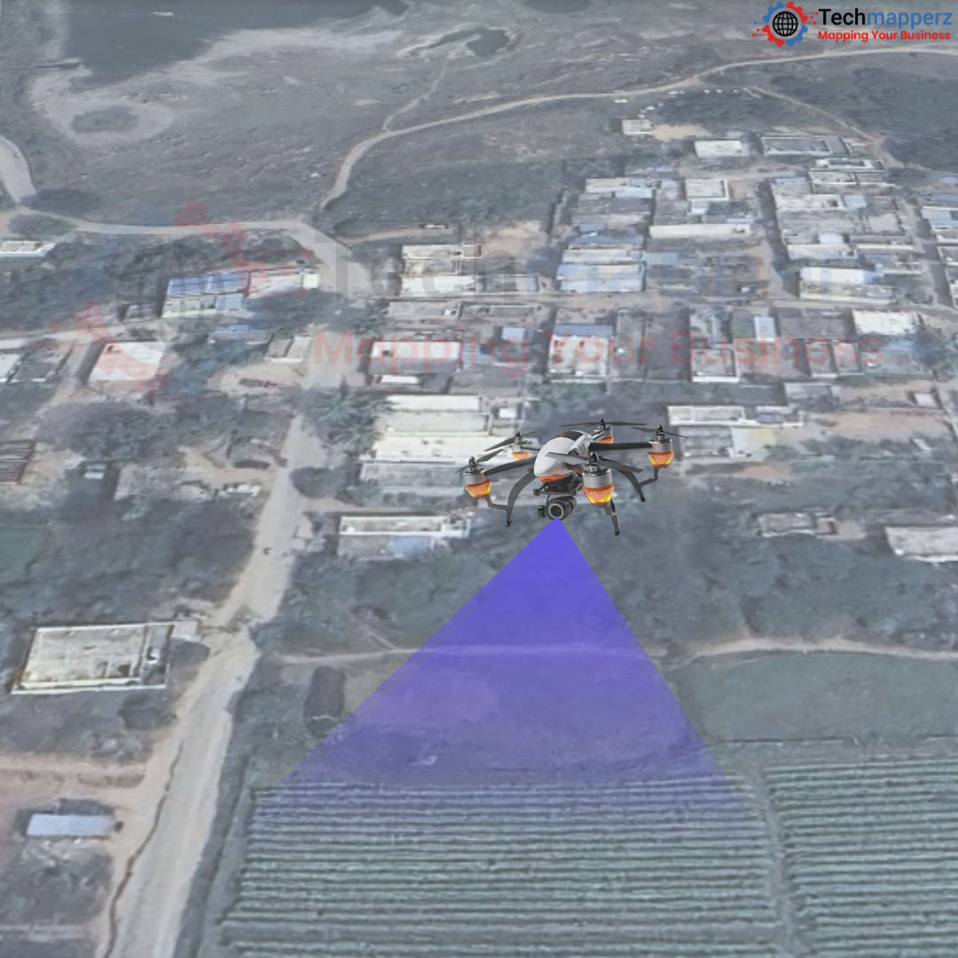
Revolutionize Land-Use Planning: The Power of Drone Technology in Precision Mapping
Drones offer a kind of precision that was previously not achievable with standard satellite or aerial images since they can record data at scales ranging from meters to millimetres. Advanced analysis and modeling is possible by the integration of drone data into a GIS environment which enables researchers, environmental managers, and urban planners to make judgments and implement improvements. Drone mapping using GIS has become an essential tool for understanding and handling our complex and constantly changing world, whether it is for tracking deforestation, managing urban sprawl, or managing natural resources.
Advantages of Drone-Based LULC Mapping
Drones have emerged as indispensable tools for LULC mapping, revolutionizing the way we monitor and understand our planet's land use and cover.
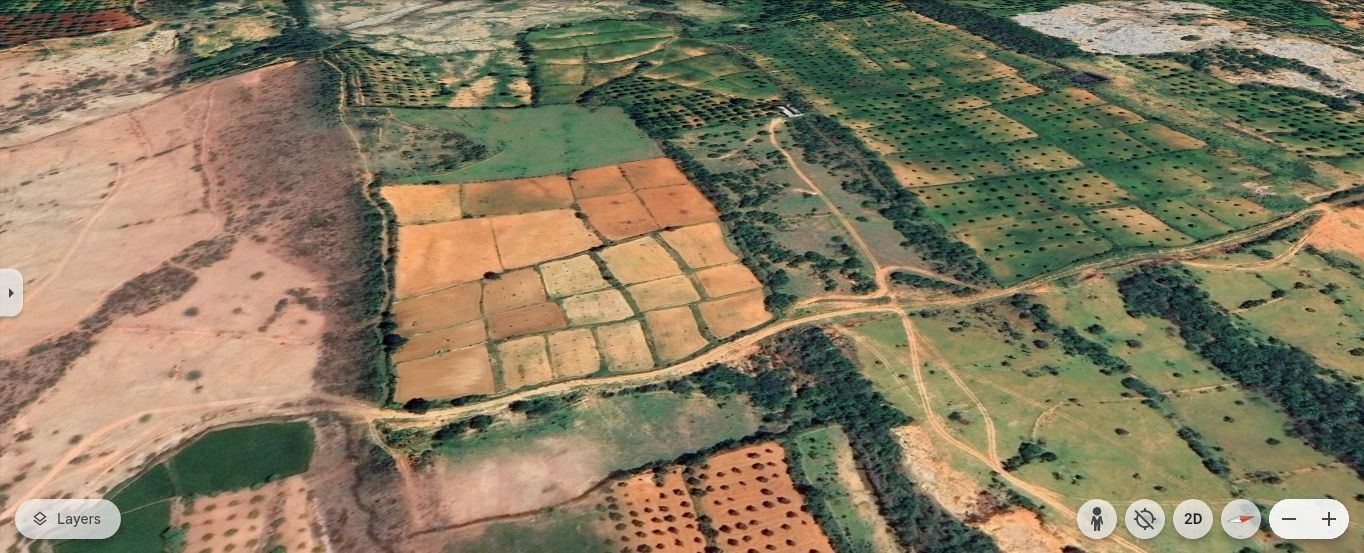
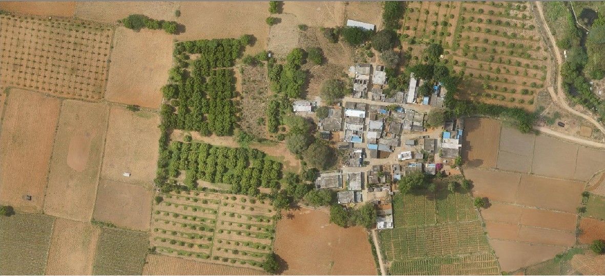
High-Resolution Imagery: Drones offer a significant advantage over satellites in terms of spatial resolution. While satellites typically have spatial resolutions ranging from 10 to 30 meters, drones can capture images with resolutions as high as 1 centimeter or less. This level of detail allows drones to identify and analyse features that are simply too small to be detected by satellites, such as individual trees, small bodies of water, or subtle changes in vegetation cover.
Cost-Effectiveness: Drones offer a significant cost advantage over traditional methods like manned aerial photography or satellite-based reconnaissance. Unlike satellites, which require large-scale investments and ongoing operational costs, drones can be deployed on a project-by-project basis, making them ideal for smaller-scale or localized LULC mapping needs. This flexibility reduces overhead costs and allows for more efficient use of resources.
Flexibility and Accessibility: Drones offer unparalleled flexibility and accessibility in land-use and land-cover mapping. Their ability to be deployed rapidly and efficiently allows for swift data collection in remote or challenging terrains, such as mountainous regions, dense forests, or areas affected by natural disasters. This flexibility is crucial for real-time monitoring and evaluation, as drones can provide up-to-date information on changing conditions.
Multispectral and Hyper-spectral imaging: Drones equipped with multispectral and hyperspectral sensors can capture data across multiple wavelengths of light, providing detailed information about land cover properties. This capability is essential for assessing vegetation health, monitoring soil composition, and evaluating water quality, making drones invaluable tools for LULC mapping.
Temporal Analysis: They can be used over the same area multiple times, and this brings on us to time series database, crucial in tracking the dynamic changes in the use and cover of land. This temporal analysis can also be useful in describing the patterns of a certain land cover change that might be associated with a certain process of change, whether it is the urbanization process, deforestation or even agricultural practices.
Drones: A Multi-Purpose Tool for Land-Use Mapping Across Industries
Drones have emerged as indispensable tools for LULC mapping, revolutionizing the way we monitor and understand our planet's landscapes. Their versatility and adaptability make them suitable for a wide range of applications across various sectors.
Urban Planning and Development: Drones are revolutionizing urban planning by providing planners with real-time, high-resolution data. This data enables them to make informed decisions about land use, infrastructure development, and urban growth. By analyzing land cover, building density, and infrastructure conditions, drones help identify suitable areas for development, assess the potential impacts of urban expansion, and ensure compliance with zoning regulations. This empowers planners to create more sustainable, resilient, and equitable cities.
Agriculture: In agriculture, drones are used to make a significant contribution to precision farming by mapping the land cover, and monitoring plant health and condition of the soil among others. In response to this, farmers use drone-collected data to improve irrigation, fertilization, and pest control hence improving productivity while practicing sustainable agriculture.
Environmental Conservation: Drones are indispensable tools for environmental conservation, providing critical data to monitor ecosystems, track wildlife populations, and combat illegal activities. By capturing high-resolution imagery and analyzing land cover changes, drones empower conservationists to identify and address threats to biodiversity, protect critical habitats, and enforce environmental regulations. For example, drones can be used to monitor deforestation, track wildlife migration patterns, and detect illegal poaching activities, playing a vital role in safeguarding our planet's natural resources.
Disaster Management: Drones have revolutionized disaster management by providing rapid and accurate assessments of affected areas. Their ability to capture high-resolution imagery and create detailed maps enables efficient reconstruction planning, resource allocation, and monitoring of recovery efforts, ensuring a more effective and timely response to disasters.
Water Resource Management: There is the implementation of drones with a suitable set of sensors to observe water bodies, measure water quality, and survey watersheds. These pieces of information are quite important in aspects of water management, flood forecasting, as well as in the formulation of conservation measures. The use of drones comes in handy in the arid parts of the world in checking on water depths and changes in cover that affect the availability of the product.
Conclusion
Drones are revolutionizing land use and land-cover mapping. With their ability to capture high-resolution, multispectral data quickly and efficiently, drones are becoming essential tools for various applications, from urban planning to environmental conservation. However, to fully harness their potential, we must address challenges such as regulations, data management, weather conditions, and privacy concerns. By overcoming these hurdles, drones can play a crucial role in sustainable land management and environmental protection.


Comments